Standing Stones, Menhirs · Prehistory / Early History
Opferstein


Description
This description is only available in German.
Translate with Google opens this page in Google Translate (external service)
Nach der Überlieferung als Opferstein bzw. Opferplatz bekannt. Der Stein liegt am südlichen Ende des Plateaus direkt am Tor des Ringwalls. [1]
Classification
- Subject area
- Archaeological Monuments
- Category
- Standing Stones, Menhirs
- Date
- Bis circa 500 vor Chr.
Location
- District
- Vulkaneifel
- Collective municipality
- Daun
- Municipality
- Steineberg
- Field name
- Die Ley
- Coordinates
- WGS 84: 50.175220, 6.919010 (Position: exact) WGS 84: 50° 10′ 30.8″ N, 6° 55′ 08.4″ E UTM 32 (ETRS89): E 351410 · N 5560186
Sources
Data sources
- [1] Helge Rieder, Konz, 2005
On the internet
Picture credits
Last edited: 1 Aug 2016 Object ID: 10028
https://kulturdb.de/en/objekt/10028-steineberg-opferstein
Nearby
The nearest objects
No picture
90 m
Burial Mounds
Grabhügel
No picture
90 m
Battlefields
Schlacht an der Steineberger Ley
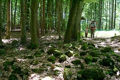 110 m
Ring Forts
Steineberger Lei
No picture
130 m
Battlefields
Schwedenschlacht an der Steineberger Ley
140 m
Ring Forts
Steineberger Lei (2)
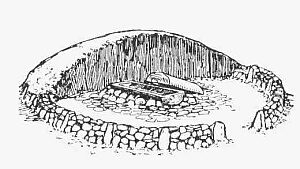 180 m
Burial Mounds
Hügelgrab auf der Steineberger Ley
190 m
Burial Mounds
Hügelgrab auf der Steineberger Ley
190 m
Burial Mounds