Settlements · Celtic / Roman Period
Spätrömische Höhensiedlung Kandelberg

Classification
- Subject area
- Archaeological Monuments
- Category
- Settlements
- Object type
- Settlements
- Date
- Circa 500 vor Chr. bis circa 500 nach Chr.
- Period
- Celtic / Roman Period
Location
- District
- Bernkastel-Wittlich
- Collective municipality
- Bernkastel-Kues
- Municipality
- Neumagen-Dhron
- Locality / location
- Dhron
- Field name
- Auf Lichtenheck
- Coordinates
- WGS 84: 49.862380, 6.891155 (Position: presumed) WGS 84: 49° 51′ 44.6″ N, 6° 53′ 28.2″ E UTM 32 (ETRS89): E 348440 · N 5525462
Sources
Data sources
- Internet
On the internet
Picture credits
- Picture 1: © Lothar Monshausen, Fotostream http://www.flickr.com/photos/lomo56/tags/meteorite/
Last edited: 7 Jul 2005 Object ID: 10029
https://kulturdb.de/en/objekt/10029-neumagen-dhron-spaetroemische-hoehensiedlung-kandelberg
Nearby
The nearest objects
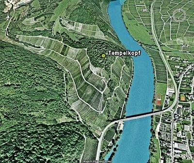 30 m
Hilltop Castles
Tempelkopf
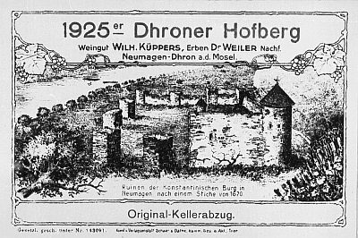 260 m
Vineyard Sites
Hofberg
No picture
500 m
Vineyard Sites
Engelgrube
No picture
520 m
Field Names
Im Ameisenberg
No picture
540 m
Ferries
Ehemalige Fähre Neumagen-Zweibacher Hof
No picture
550 m
Vineyard Sites
Nußwingert
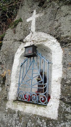 580 m
Wayside Shrines and Stations of the Cross
Nische mit Sankt Nikolaus
No picture
680 m
Field Names