Vineyard Sites · Historicism / Art Nouveau
Hofberg

Classification
- Subject area
- History
- Category
- Vineyard Sites
- Date
- 1868
Location
- District
- Bernkastel-Wittlich
- Collective municipality
- Bernkastel-Kues
- Municipality
- Neumagen-Dhron
- Locality / location
- Dhron
- Field name
- Im Hofberg
- Coordinates
- WGS 84: 49.860250, 6.889670 (Position: exact) WGS 84: 49° 51′ 36.9″ N, 6° 53′ 22.8″ E UTM 32 (ETRS89): E 348327 · N 5525229
Sources
Data sources
- [1] Weinbaukarte Saar-Mosel für den Regierungsbezirk Trier, Clotten 1868. http://www.stadtbibliothek-weberbach.de/shop/reproduktionen/weinbau…
On the internet
Picture credits
- Picture 1: Bildarchiv Foto Marburg https://www.bildindex.de/document/obj42128319?medium=mi02491b14
Last edited: 11 Mar 2024 Object ID: 45929
https://kulturdb.de/en/objekt/45929-neumagen-dhron-hofberg
Nearby
The nearest objects
 260 m
Settlements
Spätrömische Höhensiedlung Kandelberg
No picture
270 m
Vineyard Sites
Engelgrube
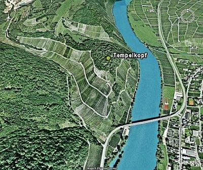 290 m
Hilltop Castles
Tempelkopf
No picture
310 m
Vineyard Sites
Nußwingert
No picture
410 m
Viewpoints
Aussichtspunkt zum Türmchen
No picture
440 m
Field Names
In der Held
No picture
470 m
Field Names
Held
No picture
480 m
Vineyard Sites