Wayside Shrine Houses · Neoclassicism
Heiligenhäuschen


© GeoBasis-DE / LVermGeoRP, dl-de/by-2-0
There is no picture of this object yet. Do you have a photo that you would like to make available to the Kulturdatenbank? Submit a picture
Description
This description is only available in German.
Translate with Google opens this page in Google Translate (external service)
1825 wurde das Dorf Dürmich von einer entsetzlichen Feuersbrunst heimgesucht. Der gesamte Ort sowie die fast 100jährige Kapelle brannten ab. Die stehengebliebenen Mauern wurden später abgerissen und wurden als Brückenbaumaterial für den Übergang über die Elz verwendet. Lediglich der schwere Altarstein blieb liegen und bezeichnete über 125 Jahre lang die Stelle an der das Gotteshaus einst stand. [1]
Classification
- Subject area
- Architectural and Art Monuments
- Category
- Religious Buildings
- Object type
- Wayside Shrine Houses
- Date
- 1825
- Period
- Neoclassicism
Location
- District
- Vulkaneifel
- Collective municipality
- Kelberg
- Municipality
- Lirstal
- Street
- Brunnenstraße
- Field name
- Ortslage
- Coordinates
- WGS 84: 50.257920, 7.033199 (Position: exact) WGS 84: 50° 15′ 28.5″ N, 7° 01′ 59.5″ E UTM 32 (ETRS89): E 359806 · N 5569159
Sources
Data sources
On the internet
Last edited: 24 Aug 2022 Object ID: 10078
https://kulturdb.de/en/objekt/10078-lirstal-heiligenhaeuschen
Nearby
The nearest objects
Chapels
Ehemalige Dorfkapelle
Deserted Settlements
Wüstung Dürmich
 120 m
Commemorative Plantings
Kaiserlinde mit Gedenkstein
Mills
Lirstaler Mühle
Place Names / Local History
Ortsgeschichte Lirstal
 190 m
Coats of Arms
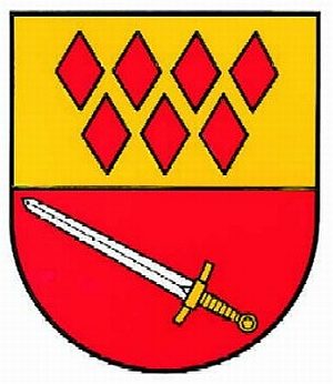
Wappen der Gemeinde Lirstal
Catholic Churches
Kirche Unserer lieben Frau Fatima
Wayside Shrines and Stations of the Cross