Deserted Settlements · Gothic
Wüstung


© GeoBasis-DE / LVermGeoRP, dl-de/by-2-0
There is no picture of this object yet. Do you have a photo that you would like to make available to the Kulturdatenbank? Submit a picture
Description
This description is only available in German.
Translate with Google opens this page in Google Translate (external service)
Wüstung (Name unbekannt). Aufgrund von Grabungsfunden ist hier eine Wüstung zu vermuten, die bis in das 14. / 15ls Dorf bestanden hat. Die Flur in der die Wüstung liegt, heißt Hottenbach. [1]
Classification
- Subject area
- Archaeological Monuments
- Category
- Settlements
- Object type
- Deserted Settlements
- Date
- Circa 1100 bis circa 1500
- Period
- Gothic
Location
- District
- Vulkaneifel
- Collective municipality
- Gerolstein
- Municipality
- Kerschenbach
- Field name
- Lehmkaul
- Coordinates
- WGS 84: 50.342742, 6.496699 (Position: presumed) WGS 84: 50° 20′ 33.9″ N, 6° 29′ 48.1″ E UTM 32 (ETRS89): E 321885 · N 5579736
Sources
Data sources
- [1] Janssen, W.: Studien zur Wüstungsfrage im fränkischen Altsiedelland zwischen Rhein, Mosel und Eifelnordrand. 2 Bände. Text u. Katalog, 1975.
On the internet
Last edited: 25 Nov 2003 Object ID: 1010
https://kulturdb.de/en/objekt/1010-kerschenbach-wuestung
Nearby
The nearest objects
Field Names
Lehmkaul
Wayside Shrines and Stations of the Cross
Wegekreuz
Field Names
Heimensseufen
Field Names
Auf der Mühlenheld
Field Names
Kalkerbach
 560 m
Coats of Arms
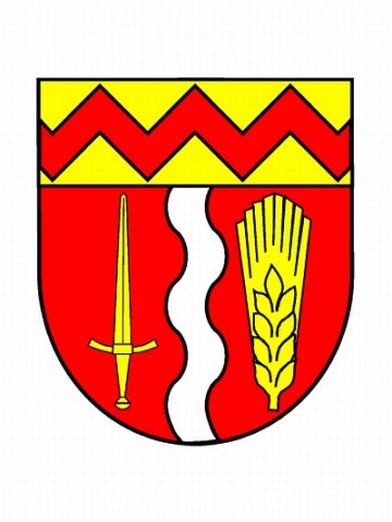
Wappen und Flagge der Gemeinde Kerschenbach
Field Names
Auf der Held
Fortresses and Bunkers