Ancient Field Systems · Early Middle Ages / Romanesque
Fossile Flur

Description
This description is only available in German.
Translate with Google opens this page in Google Translate (external service)
Terrassenäcker als Teil der mittelalterlichen Flur von Stadtkyll. [1]
Classification
- Subject area
- Archaeological Monuments
- Category
- Economy, Trade and Transport
- Object type
- Ancient Field Systems
- Date
- Circa 500 nach Chr. bis circa 1220
Location
- District
- Vulkaneifel
- Collective municipality
- Gerolstein
- Municipality
- Stadtkyll
- Street
- Wirftstraße
- Field name
- Ortslage
- Coordinates
- WGS 84: 50.344827, 6.533247 (Position: presumed) WGS 84: 50° 20′ 41.4″ N, 6° 31′ 59.7″ E UTM 32 (ETRS89): E 324493 · N 5579881
Sources
Data sources
- [1] Janssen, W.: Studien zur Wüstungsfrage im fränkischen Altsiedelland zwischen Rhein, Mosel und Eifelnordrand. 2 Bände. Text u. Katalog, 1975.
On the internet
Picture credits
- Picture 1: Google Earth
Last edited: 8 May 2001 Object ID: 1016
https://kulturdb.de/en/objekt/1016-stadtkyll-fossile-flur
Nearby
The nearest objects
 60 m
Chartered Towns
Stadtrechte
No picture
60 m
Settlements
Römische Funde
 60 m
Farmhouses and Farm Buildings
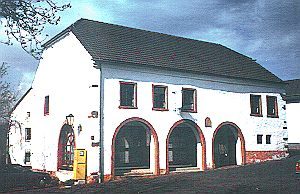
Ehemalige Marktscheune
 60 m
Coats of Arms
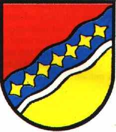
Wappen der Gemeinde Stadtkyll
 360 m
Wayside Shrines and Stations of the Cross
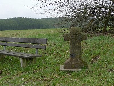
Wegekreuz von 1757
No picture
360 m
Field Names
Auf Meilenheld
No picture
510 m
Monastic Complexes
Ehemaliges Klösterchen
No picture
510 m
Monastic Complexes