Wayside Shrines and Stations of the Cross · 20th Century
Wegekreuz
- Listed monument


Description
This description is only available in German.
Translate with Google opens this page in Google Translate (external service)
Classification
- Subject area
- Architectural and Art Monuments
- Category
- Religious Buildings
- Object type
- Wayside Shrines and Stations of the Cross
- Date
- 1929
- Period
- 20th Century
Location
- District
- Eifelkreis Bitburg-Prüm
- Collective municipality
- Bitburger Land
- Municipality
- Halsdorf
- Field name
- Auf der Uhrricht
- Coordinates
- WGS 84: 49.934794, 6.376443 (Position: exact) WGS 84: 49° 56′ 05.3″ N, 6° 22′ 35.2″ E UTM 32 (ETRS89): E 311734 · N 5534681
Sources
Data sources
- [1] Denkmaltopographie Bundesrepublik Deutschland, Kulturdenkmäler in Rheinland-Pfalz, Kreis Bitburg-Prüm, 9.2 Wernersche Verlagsgesellschaft 1994. ISBN 3-88462-132-7
- [2]
On the internet
de.wikipedia.org/wiki/Halsdorf
Picture credits
Last edited: 17 Apr 2021 Object ID: 10181
https://kulturdb.de/en/objekt/10181-halsdorf-wegekreuz
Nearby
The nearest objects
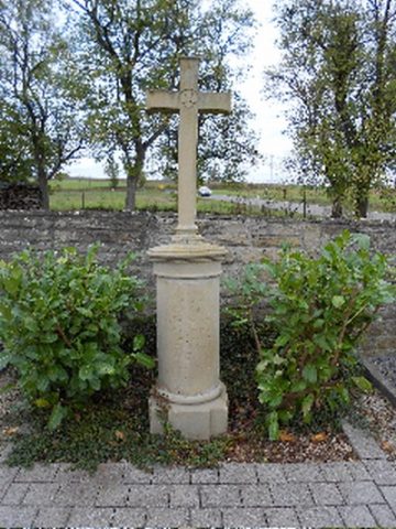 310 m
War Memorials
Friedhofskreuz
No picture
310 m
Chapels
Ehemalige Kapelle
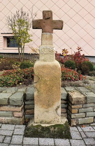 380 m
Wayside Shrines and Stations of the Cross
Wegekreuz
No picture
420 m
Field Names
Asperfelder ober dem Achtgrund
No picture
430 m
Field Names
Beim Maar
No picture
490 m
Field Names
Im Rüdelborn
No picture
540 m
Farmhouses and Farm Buildings
Remise
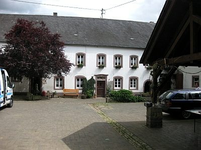 590 m
Farmhouses and Farm Buildings