Deserted Settlements · Neoclassicism
Wüstung Wahlhausen

Description
This description is only available in German.
Translate with Google opens this page in Google Translate (external service)
Einst bestand um die kleine Kapelle Wahlhausen, die heute Endpunkt eines Wallfahrtsweges ist, eine Ansiedlung Walhausen. [1]
Classification
- Subject area
- Archaeological Monuments
- Category
- Settlements
- Object type
- Deserted Settlements
- Date
- Circa 1750 bis 1850
- Period
- Neoclassicism
Location
- District
- Vulkaneifel
- Collective municipality
- Gerolstein
- Municipality
- Steffeln
- Field name
- Auf Wahlhausen
- Coordinates
- WGS 84: 50.293214, 6.573226 (Position: presumed) WGS 84: 50° 17′ 35.6″ N, 6° 34′ 23.6″ E UTM 32 (ETRS89): E 327150 · N 5574049
Sources
Data sources
- [1] Janssen, W.: Studien zur Wüstungsfrage im fränkischen Altsiedelland zwischen Rhein, Mosel und Eifelnordrand. 2 Bände. Text u. Katalog, 1975.
On the internet
Picture credits
- Picture 1: © Dr. Christian Credner, Lambertsberg, 2009. http://www.flickr.com/photos/36577363@N04
Last edited: 12 Jul 2010 Object ID: 1020
https://kulturdb.de/en/objekt/1020-steffeln-wuestung-wahlhausen
Nearby
The nearest objects
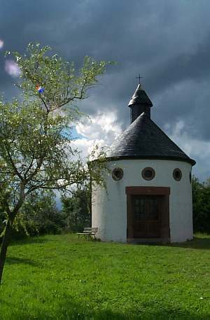 20 m
Chapels
Wallfahrtskapelle Wahlhausen (2)
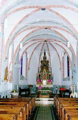 20 m
Pilgrimage Sites
Wallfahrtskapelle Wahlhausen (1)
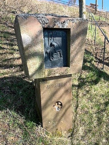 20 m
Wayside Shrines and Stations of the Cross
Kreuzweg - 13. Station: Ausgelitten
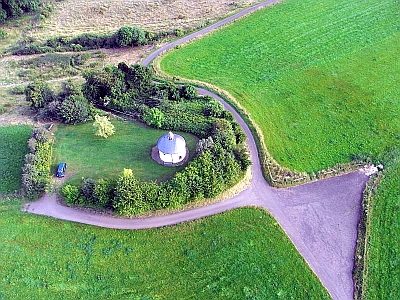 30 m
Viewpoints
Aussichtspunkt Wallfahrtskapelle Wahlhausen
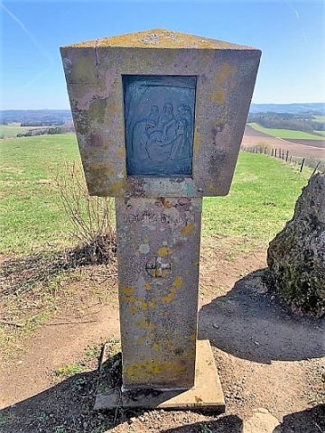 30 m
Wayside Shrines and Stations of the Cross
Kreuzweg - 14. Station: Dem Sieg entgegen
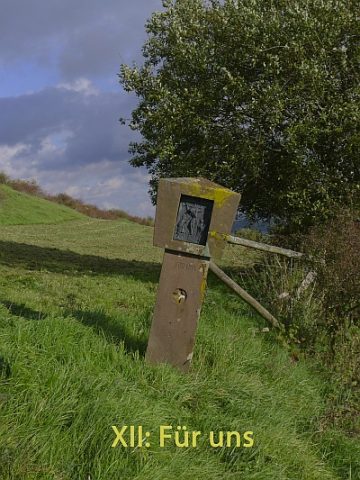 40 m
Wayside Shrines and Stations of the Cross
Kreuzweg - 12. Station: Für uns
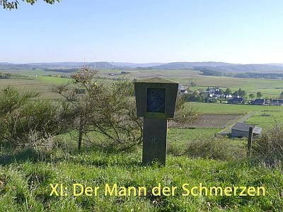 150 m
Wayside Shrines and Stations of the Cross
Kreuzweg - 11. Station: Der Mann der Schmerzen
Wayside Shrines and Stations of the Cross