Settlements · Celtic / Roman Period
Römische Siedlungsstelle
Vor der Höhe

Classification
- Subject area
- Archaeological Monuments
- Category
- Settlements
- Object type
- Settlements
- Date
- Circa 500 vor Chr. bis circa 500 nach Chr.
- Period
- Celtic / Roman Period
Location
- District
- Bernkastel-Wittlich
- Collective municipality
- Wittlich-Land
- Municipality
- Arenrath
- Field name
- Vor der Höhe
- Coordinates
- WGS 84: 49.946526, 6.730212 (Position: presumed) WGS 84: 49° 56′ 47.5″ N, 6° 43′ 48.8″ E UTM 32 (ETRS89): E 337158 · N 5535155
Sources
Data sources
- Sonderforschungsbereich 235 Zwischen Maas und Rhein. Karte: Zeugnisse zur antiken und mittelalterlichen Topographie im Umkreis der römischen Töpfereien von Speicher. Entwurf: Bernd Bienert, 1998.
On the internet
gepc189.uni-trier.de/RMnet/index.html
Picture credits
- Picture 1: © Lothar Monshausen, Fotostream http://www.flickr.com/photos/lomo56/tags/meteorite/
Last edited: 22 Sep 2005 Object ID: 10345
https://kulturdb.de/en/objekt/10345-arenrath-roemische-siedlungsstelle
Nearby
The nearest objects
 30 m
Settlements
Römische Siedlungsstelle
No picture
300 m
Field Names
Am Eselspfädchen
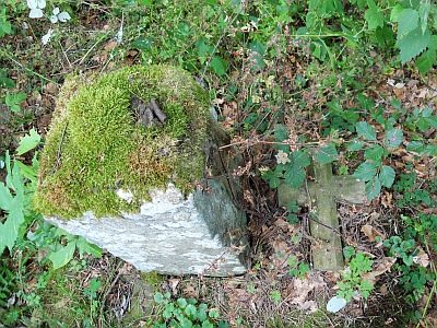 400 m
Wayside Shrines and Stations of the Cross
Jäckelskreuz
No picture
490 m
Field Names
Beim Stielborn
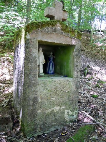 810 m
Wayside Shrines and Stations of the Cross
Klamandes-Bildstock
No picture
860 m
Field Names
Vor der Rottheck
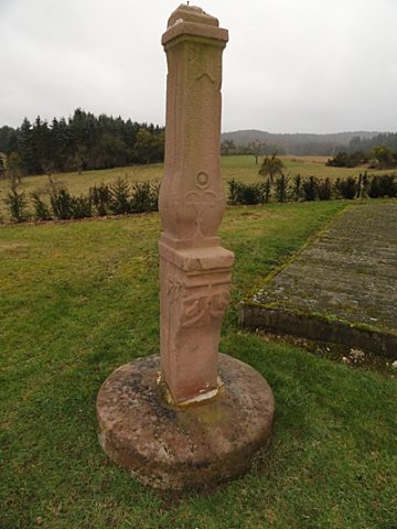 880 m
Wayside Shrines and Stations of the Cross
Schaftkreuz auf dem Friedhof
No picture
1.1 km
Deserted Settlements