Wayside Shrines and Stations of the Cross · Historicism / Art Nouveau
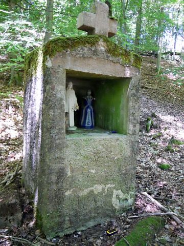
Jäckelskreuz


Description
This description is only available in German.
Translate with Google opens this page in Google Translate (external service)
Standort: Auf der Höchst, ca 100 Meter Waldeingang auf der linken Seite, Sandsteinsockel. Inschrift: Keine [3]
Classification
- Subject area
- Architectural and Art Monuments
- Category
- Religious Buildings
- Object type
- Wayside Shrines and Stations of the Cross
- Date
- 1887
Location
- District
- Bernkastel-Wittlich
- Collective municipality
- Wittlich-Land
- Municipality
- Niersbach
- Field name
- Bei Jäckelskreuz
- Coordinates
- WGS 84: 49.943383, 6.732890 (Position: exact) WGS 84: 49° 56′ 36.2″ N, 6° 43′ 58.4″ E UTM 32 (ETRS89): E 337339 · N 5534800
Sources
Data sources
- [1] Matthias Stoffel, Gondorf, 2018.
- [2] Topographische Karte von 1887. https://kartenforum.slub-dresden.de/vkviewer?%3Fwelcomepage=off&z=9…
- [3] 1808-2008. 200 Jahre Filialkirche Bernhard Niersbach.
On the internet
Picture credits
Last edited: 16 Jul 2018 Object ID: 47869
https://kulturdb.de/en/objekt/47869-niersbach-jaeckelskreuz
Nearby
The nearest objects
Field Names
Am Eselspfädchen
 400 m
Settlements
Römische Siedlungsstelle
410 m
Settlements
Römische Siedlungsstelle
 510 m
Wayside Shrines and Stations of the Cross
Klamandes-Bildstock
Wayside Shrines and Stations of the Cross
Wegekreuz
 580 m
Coats of Arms
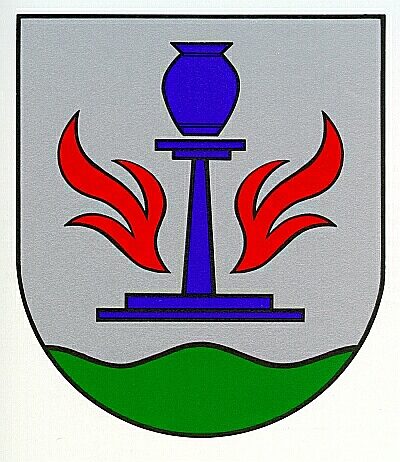
Wappen der Gemeinde Niersbach
Field Names
In der Breitwies
Deserted Settlements