Rectories · 20th Century
Pfarrhaus
- Listed monument


© GeoBasis-DE / LVermGeoRP, dl-de/by-2-0
There is no picture of this object yet. Do you have a photo that you would like to make available to the Kulturdatenbank? Submit a picture
Description
This description is only available in German.
Translate with Google opens this page in Google Translate (external service)
[...] Die Erhebung zur Pfarrei fand im Kirchenneubau am damaligen Ortsrand sichtbaren Ausdruck. Durch die Erweiterung entstand ein individueller Baukörper. Das durch den kubischen Körper und das Zeltdach wirkende Pfarrhaus von 1930 ist Teil der geschützten Umgebung.
Classification
- Subject area
- Architectural and Art Monuments
- Category
- Administrative Buildings
- Object type
- Rectories
- Date
- 1930
- Period
- 20th Century
Location
- District
- Trier-Saarburg
- Collective municipality
- Konz
- Municipality
- Kanzem
- Street
- Kirchstraße 10
- Field name
- Ortslage
- Coordinates
- WGS 84: 49.667399, 6.576925 (Position: exact) WGS 84: 49° 40′ 02.6″ N, 6° 34′ 36.9″ E UTM 32 (ETRS89): E 325159 · N 5504471
Sources
Data sources
- Homepage der Initiative Region Trier e.V. Sehen & Erleben - Bau-Denkmäler http://www.regiontrier.de/cgi/bin
On the internet
Last edited: 2 Dec 2005 Object ID: 10571
https://kulturdb.de/en/objekt/10571-kanzem-pfarrhaus
Nearby
The nearest objects
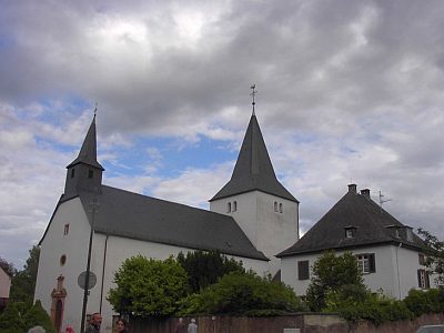 20 m
Catholic Churches
Sankt Marien
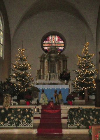 20 m
Nativity Scenes
Sankt Marien - Weihnachtskrippe
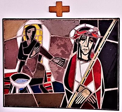 20 m
Wayside Shrines and Stations of the Cross
Sankt Marien - Kreuzwegstationen Innenraum (1)
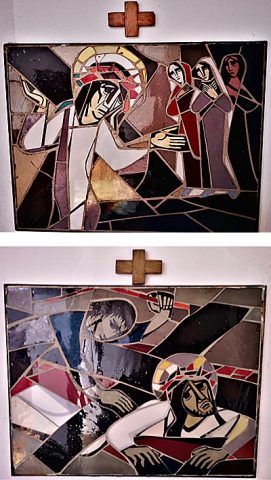 20 m
Wayside Shrines and Stations of the Cross
Sankt Marien - Kreuzwegstationen Innenraum (2)
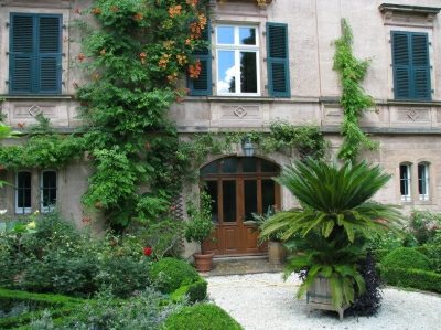 60 m
Town Houses and Commercial Buildings
Villa mit Parkanlage
Burial Sites
Zwei Sandsteingrabmale
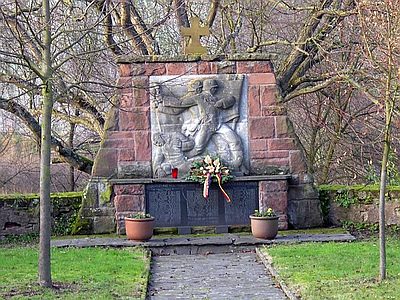 80 m
War Memorials
Kriegerdenkmal
80 m
Estate and Country House Gardens