Burial Sites · Neoclassicism
Zwei Sandsteingrabmale
- Listed monument


© GeoBasis-DE / LVermGeoRP, dl-de/by-2-0
There is no picture of this object yet. Do you have a photo that you would like to make available to the Kulturdatenbank? Submit a picture
Classification
- Subject area
- Architectural and Art Monuments
- Category
- Religious Buildings
- Object type
- Burial Sites
- Date
- 1820 und 1853
- Period
- Neoclassicism
Location
- District
- Trier-Saarburg
- Collective municipality
- Konz
- Municipality
- Kanzem
- Street
- Kirchstraße 7
- Field name
- Im Dorf
- Coordinates
- WGS 84: 49.667720, 6.576000 (Position: exact) WGS 84: 49° 40′ 03.8″ N, 6° 34′ 33.6″ E UTM 32 (ETRS89): E 325093 · N 5504509
Sources
Data sources
- [1] Denkmalliste der Generaldirektion Kulturelles Erbe, Rheinland-Pfalz; 2010.
On the internet
Last edited: 1 May 2017 Object ID: 34994
https://kulturdb.de/en/objekt/34994-kanzem-zwei-sandsteingrabmale
Nearby
The nearest objects
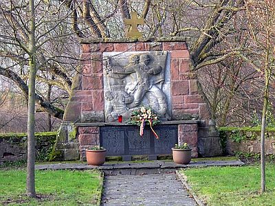 less than 10 m
War Memorials
Kriegerdenkmal
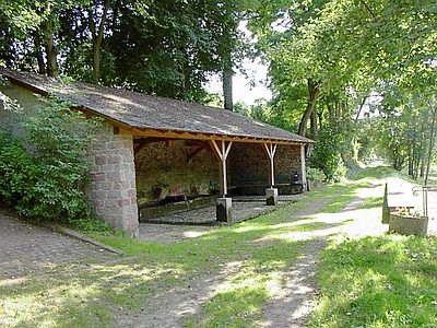 30 m
Washing Places
Waschplatz und Dorfbrunnen
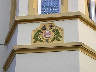 60 m
Farmhouses and Farm Buildings
Haus Grenzhäuser-Patheiger
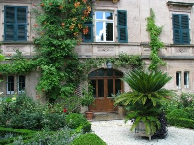 70 m
Town Houses and Commercial Buildings
Villa mit Parkanlage
70 m
Estate and Country House Gardens
Parkanlage Kirchstraße 11
No picture
80 m
Rectories
Pfarrhaus
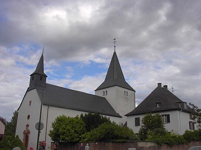 80 m
Catholic Churches
Sankt Marien
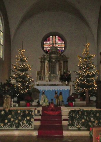 90 m
Nativity Scenes