Place Names / Local History · Gothic
Ortsname Hamm
- Listed monument


© GeoBasis-DE / LVermGeoRP, dl-de/by-2-0
There is no picture of this object yet. Do you have a photo that you would like to make available to the Kulturdatenbank? Submit a picture
Description
This description is only available in German.
Translate with Google opens this page in Google Translate (external service)
Im deutschen Ortsnamen teilt sich die Lage an einer Flussschleife (mittelalterlich hamm) mit. Zur Unterscheidung mit dem Konzer Ortsteil Hamm wurde Hamm bei Taben-Rodt als Oberhamm bezeichnet. [1]
Classification
- Subject area
- History
- Category
- Place Names / Local History
- Date
- Circa 1100 bis circa 1500
- Period
- Gothic
Location
- District
- Trier-Saarburg
- Collective municipality
- Saarburg-Kell
- Municipality
- Taben-Rodt
- Locality / location
- Hamm
- Field name
- Ortslage
- Coordinates
- WGS 84: 49.564740, 6.602974 (Position: within the village) WGS 84: 49° 33′ 53.1″ N, 6° 36′ 10.7″ E UTM 32 (ETRS89): E 326674 · N 5492999
Sources
Data sources
- [1] Denkmaltopographie Bundesrepublik Deutschland, Kulturdenkmäler in Rheinland-Pfalz, Kreis Trier-Saarburg, 12.1 Wernersche Verlagsgesellschaft 1994
On the internet
Last edited: 28 Dec 2005 Object ID: 10604
https://kulturdb.de/en/objekt/10604-taben-rodt-ortsname-hamm
Nearby
The nearest objects
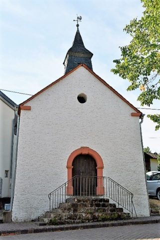 20 m
Chapels
Katholische Kapelle
Field Names
Im Bungert
Field Names
Sangbungert
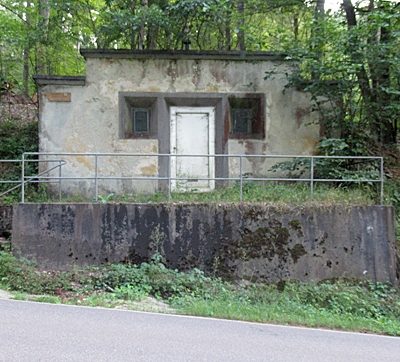 360 m
Water Supply
Wasserbehälter
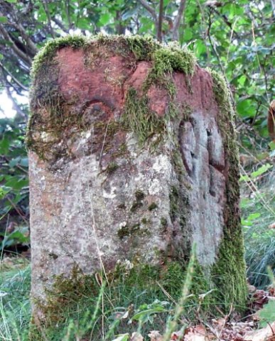 390 m
Surveying
Grenzstein
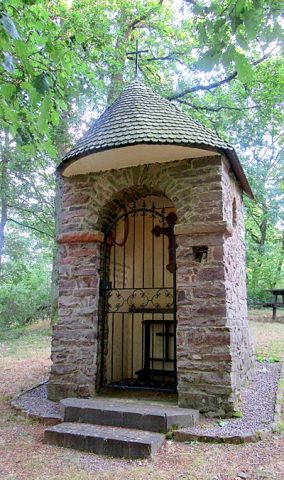 390 m
Chapels
Wegekapelle an der Kreisstraße 128
 410 m
Wayside Shrines and Stations of the Cross
Barschels Kreuz
Fords