Surveying · Undated
Grenzstein
Neben der Wegekapelle an der K128
- Listed monument


Description
This description is only available in German.
Translate with Google opens this page in Google Translate (external service)
Grenzstein der Gemeinden Hamm (GH) und Taben (T). [1]
Classification
- Subject area
- Architectural and Art Monuments
- Category
- Markers and Monuments
- Object type
- Surveying
- Date
- Undatiert
- Period
- Undated
Location
- District
- Trier-Saarburg
- Collective municipality
- Saarburg-Kell
- Municipality
- Taben-Rodt
- Locality / location
- Hamm bei Taben
- Field name
- Im Bungert
- Coordinates
- WGS 84: 49.561506, 6.600819 (Position: exact) WGS 84: 49° 33′ 41.4″ N, 6° 36′ 02.9″ E UTM 32 (ETRS89): E 326507 · N 5492644
Sources
Data sources
- [1] Denkmaltopographie Bundesrepublik Deutschland, Kulturdenkmäler in Rheinland-Pfalz, Kreis Trier-Saarburg, 12.1 Wernersche Verlagsgesellschaft 1994
On the internet
Picture credits
Last edited: 17 Jul 2023 Object ID: 8171
https://kulturdb.de/en/objekt/8171-taben-rodt-grenzstein
Nearby
The nearest objects
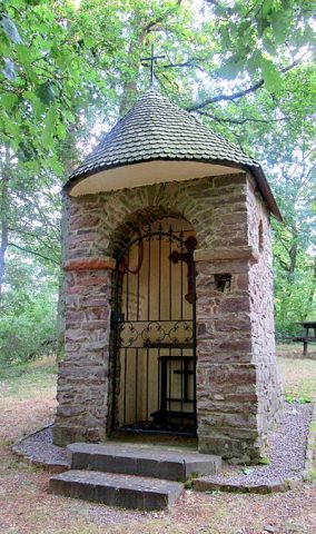 10 m
Chapels
Wegekapelle an der Kreisstraße 128
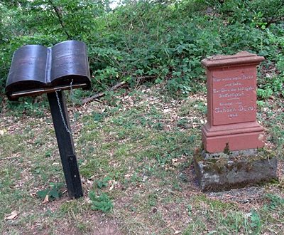 30 m
Wayside Shrines and Stations of the Cross
Barschels Kreuz
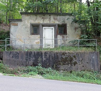 110 m
Water Supply
Wasserbehälter
No picture
220 m
Fortresses and Bunkers
Westwall - Doppelschartenstand
No picture
240 m
Field Names
Im Bungert
No picture
360 m
Fords
Ehemalige Furt
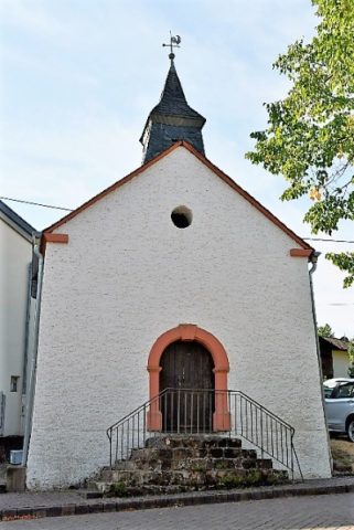 390 m
Chapels
Katholische Kapelle
No picture
390 m
Place Names / Local History