Settlements · Celtic / Roman Period
Römischer Bauernhof
- Listed monument


© GeoBasis-DE / LVermGeoRP, dl-de/by-2-0
There is no picture of this object yet. Do you have a photo that you would like to make available to the Kulturdatenbank? Submit a picture
Description
This description is only available in German.
Translate with Google opens this page in Google Translate (external service)
Ein römischer Bauernhof wurde östlich von Hermeskeil an der Kreisstraße 100, im Bereich des heutigen Aussiedlerhofes Martinushof festgestellt. [1]
Classification
- Subject area
- Archaeological Monuments
- Category
- Settlements
- Object type
- Settlements
- Date
- Circa 500 vor Chr. bis circa 500 nach Chr.
- Period
- Celtic / Roman Period
Location
- District
- Trier-Saarburg
- Town
- Hermeskeil
- Locality / location
- Martinushof
- Field name
- Am Biesenwäldchen
- Coordinates
- WGS 84: 49.661300, 6.958184 (Position: presumed) WGS 84: 49° 39′ 40.7″ N, 6° 57′ 29.5″ E UTM 32 (ETRS89): E 352649 · N 5502975
Sources
Data sources
- [1] Denkmaltopographie Bundesrepublik Deutschland, Kulturdenkmäler in Rheinland-Pfalz, Kreis Trier-Saarburg, 12.1 Wernersche Verlagsgesellschaft 1994
On the internet
Last edited: 28 Dec 2005 Object ID: 10606
https://kulturdb.de/en/objekt/10606-hermeskeil-roemischer-bauernhof
Nearby
The nearest objects
Field Names
In der Meierwiese
Field Names
Auf Schweizersrech
Field Names
In den Nassen Feldern
Field Names
Im Krummen Acker
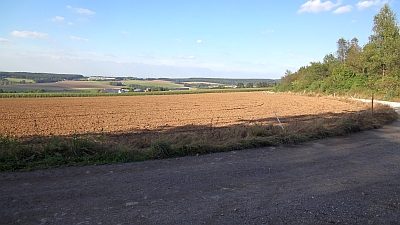 480 m
Fortresses and Bunkers
Ehemaliges Römerlager
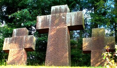 490 m
War Memorials
Friedhofskreuz
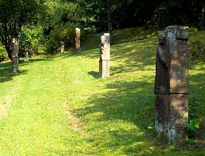 500 m
Wayside Shrines and Stations of the Cross
Bildstöcke und Kreuzwegstationen
Extraction and Processing of Raw Materials