Wayside Shrines and Stations of the Cross · Undated
Bildstöcke und Kreuzwegstationen


Classification
- Subject area
- Architectural and Art Monuments
- Category
- Religious Buildings
- Object type
- Wayside Shrines and Stations of the Cross
- Date
- Undatiert
- Period
- Undated
Location
- District
- Trier-Saarburg
- Town
- Hermeskeil
- Street
- Martinusstraße
- Field name
- Ortslage
- Coordinates
- WGS 84: 49.658422, 6.952895 (Position: exact) WGS 84: 49° 39′ 30.3″ N, 6° 57′ 10.4″ E UTM 32 (ETRS89): E 352258 · N 5502666
Sources
Data sources
- [1] Michael Grün, Trier, 2019.
On the internet
Picture credits
Last edited: 12 Sep 2019 Object ID: 48462
https://kulturdb.de/en/objekt/48462-hermeskeil-bildstoecke-und-kreuzwegstationen
Nearby
The nearest objects
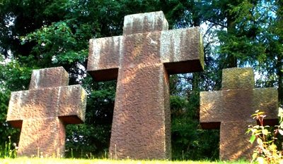 20 m
War Memorials
Friedhofskreuz
No picture
50 m
Extraction and Processing of Raw Materials
Ehemaliger Steinbruch
No picture
260 m
Forester's Lodges
Forstamt Hermeskeil-West
 270 m
Lime Trees
Linde
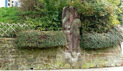 280 m
Works of Art
Martinus-Standbild
No picture
280 m
War Memorials
Friedhofskreuz
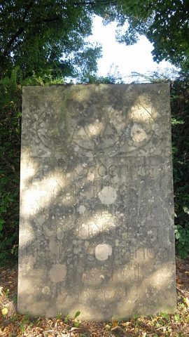 300 m
Monuments
Jüdischer Friedhof - Gedenkstein
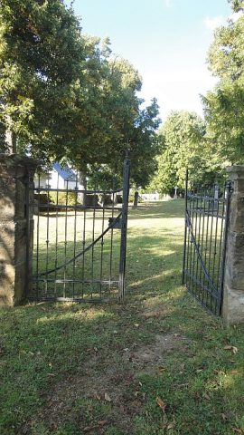 340 m
Jewish Cemeteries