War Memorials · Undated
Friedhofskreuz


© GeoBasis-DE / LVermGeoRP, dl-de/by-2-0
There is no picture of this object yet. Do you have a photo that you would like to make available to the Kulturdatenbank? Submit a picture
Description
This description is only available in German.
Translate with Google opens this page in Google Translate (external service)
Ein altes Friedhofskreuz, eingemauert in die Stützmauer zur Koblenzer Straße am Forstamt Hermeskeil.West, erinnert dort an den Kirch- und Begräbnisplatz, auf dem nachweislich nacheinander zwei von der Abtei Tholey erbaute Kirchen standen. [1]
Classification
- Subject area
- Architectural and Art Monuments
- Category
- Markers and Monuments
- Object type
- War Memorials
- Date
- Undatiert
- Period
- Undated
Location
- District
- Trier-Saarburg
- Town
- Hermeskeil
- Street
- Koblenzer Straße
- Field name
- Ortslage
- Coordinates
- WGS 84: 49.659944, 6.949799 (Position: presumed) WGS 84: 49° 39′ 35.8″ N, 6° 56′ 59.3″ E UTM 32 (ETRS89): E 352039 · N 5502841
Sources
Data sources
- [1] Aus dem Hochwald. Wegekreuze und Gedenksteine. Hrsg. Arbeitskreis Heimatkunde Bildungswerk Johanneshaus Hermeskeil. Hermeskeil 1991.
On the internet
Last edited: 15 Oct 2012 Object ID: 25303
https://kulturdb.de/en/objekt/25303-hermeskeil-friedhofskreuz
Nearby
The nearest objects
 less than 10 m
Works of Art
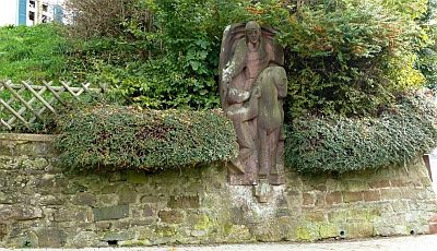
Martinus-Standbild
 less than 10 m
Lime Trees
Linde
Forester's Lodges
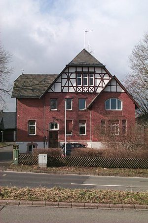
Forstamt Hermeskeil-West
 150 m
Forester's Lodges
Forstamt Hermeskeil-Ost
 190 m
Field Names
Unter dem Hargarten
Field Names
Unter dem Steinenborn
 280 m
Wayside Shrines and Stations of the Cross
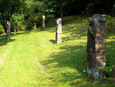
Bildstöcke und Kreuzwegstationen
Extraction and Processing of Raw Materials