Extraction and Processing of Raw Materials · Baroque / Rococo
Abbau der Milchquarzitblöcke
- Listed monument


© GeoBasis-DE / LVermGeoRP, dl-de/by-2-0
There is no picture of this object yet. Do you have a photo that you would like to make available to the Kulturdatenbank? Submit a picture
Description
This description is only available in German.
Translate with Google opens this page in Google Translate (external service)
Im 18. Jahrhundert ist eine handwerkliche Spezialisierung der Bauern im Nebenerwerb zu verzeichnen. Bis ins 19. Jahrhundert wurden um das Dorf aufragende Milchquarzitblöcke für die Porzellanindustrie abgebaut. [1]
Classification
- Subject area
- Architectural and Art Monuments
- Category
- Economy, Trade and Transport
- Object type
- Extraction and Processing of Raw Materials
- Date
- 18. Jahrhundert
- Period
- Baroque / Rococo
Location
- District
- Trier-Saarburg
- Collective municipality
- Hermeskeil
- Municipality
- Beuren (Hochwald)
- Locality / location
- Prosterath
- Field name
- Am Hohenstein
- Coordinates
- WGS 84: 49.731532, 6.915651 (Position: exact) WGS 84: 49° 43′ 53.5″ N, 6° 54′ 56.3″ E UTM 32 (ETRS89): E 349796 · N 5510867
Sources
Data sources
- [1] Denkmaltopographie Bundesrepublik Deutschland, Kulturdenkmäler in Rheinland-Pfalz, Kreis Trier-Saarburg, 12.1 Wernersche Verlagsgesellschaft 1994
On the internet
Last edited: 28 Dec 2005 Object ID: 10611
https://kulturdb.de/en/objekt/10611-beuren-hochwald-abbau-der-milchquarzitbloecke
Nearby
The nearest objects
 30 m
Quartzite Rocks
Hohenstein
Wayside Shrines and Stations of the Cross
Quiriakus-Kreuz
Wayside Shrines and Stations of the Cross
Sogenanntes Langenmichelskreuz
Field Names
Bei Langeser Kreuz
Place Names / Local History
Erste Erwähnung als Buren
 200 m
Coats of Arms
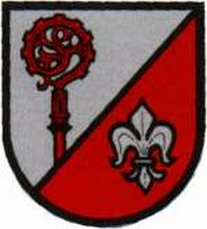
Wappen der Gemeinde Beuren (Hochwald)
Field Names
Am Hofpfad
Farmhouses and Farm Buildings