Field Names · Neoclassicism
Am Hofpfad


© GeoBasis-DE / LVermGeoRP, dl-de/by-2-0
There is no picture of this object yet. Do you have a photo that you would like to make available to the Kulturdatenbank? Submit a picture
Description
This description is only available in German.
Translate with Google opens this page in Google Translate (external service)
1826, 1850 am Hofpfad
Bedeutung: Pfad zum Hof. Die Flur liegt in der Nähe des "Hohen Steins". Sie grenzt nicht an den "Hofecken". [1]
Classification
- Subject area
- History
- Category
- Field Names
- Date
- 1826
- Period
- Neoclassicism
Location
- District
- Trier-Saarburg
- Collective municipality
- Hermeskeil
- Municipality
- Beuren (Hochwald)
- Locality / location
- Beuren
- Field name
- Am Hofpfad
- Coordinates
- WGS 84: 49.729520, 6.915428 (Position: exact) WGS 84: 49° 43′ 46.3″ N, 6° 54′ 55.5″ E UTM 32 (ETRS89): E 349774 · N 5510644
Sources
Data sources
- [1] Anna Peetz: Die Mundart von Beuren und die Gewässer- und Flurnamen der Gemeinde Beuren. In: Heimatbuch der Gemeinde Beuren im Hochwald. Beuren/Prosterath 1988 (Selbstverlag der Gemeinde).
On the internet
Last edited: 25 Mar 2022 Object ID: 51631
https://kulturdb.de/en/objekt/51631-beuren-hochwald-am-hofpfad
Nearby
The nearest objects
Farmhouses and Farm Buildings
Quereinhaus
Forester's Lodges
Revierförsterhaus
Field Names
Bei Langeser Kreuz
Extraction and Processing of Raw Materials
Abbau der Milchquarzitblöcke
 230 m
Catholic Churches
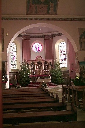
Sankt Paulinus
Catholic Churches
Ehemalige Kirche
 250 m
Quartzite Rocks
Hohenstein
 260 m
Market Towns