Wayside Shrines and Stations of the Cross · 20th Century
Unfallkreuz

Description
This description is only available in German.
Translate with Google opens this page in Google Translate (external service)
Classification
- Subject area
- Architectural and Art Monuments
- Category
- Religious Buildings
- Object type
- Wayside Shrines and Stations of the Cross
- Date
- 1988
- Period
- 20th Century
Location
- District
- Trier-Saarburg
- Collective municipality
- Trier-Land
- Municipality
- Kordel
- Field name
- Im Friedbüsch
- Coordinates
- WGS 84: 49.830582, 6.647601 (Position: exact) WGS 84: 49° 49′ 50.1″ N, 6° 38′ 51.4″ E UTM 32 (ETRS89): E 330827 · N 5522449
Sources
Data sources
- [1] Stefan Ferring, Richard Schaffner: Wege,- Dorf- und Friedhofskreuze sowie Bildstöcke in Kordel und Umgebung. Dezember 2005.
- [2] Andy Dufresne & Red - Own work, CC BY-SA 4.0, https://commons.wikimedia.org/w/index.php?curid=138702783
On the internet
pfarrei-sankt-hildegard.de/start
Picture credits
- Picture 1: By Andy Dufresne & Red - Own work, CC BY-SA 4.0, https://commons.wikimedia.org/w/index.php?curid=138702783
Last edited: 15 May 2024 Object ID: 10664
https://kulturdb.de/en/objekt/10664-kordel-unfallkreuz
Nearby
The nearest objects
 20 m
Charcoal Kilns
Ehemaliger Meilerplatz
90 m
Charcoal Kilns
Ehemaliger Meilerplatz
100 m
Charcoal Kilns
Ehemaliger Meilerplatz
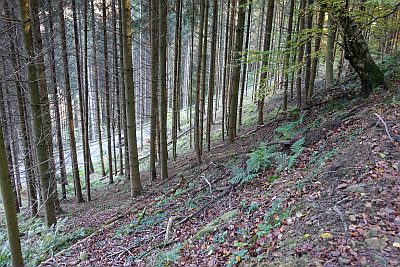 130 m
Extraction and Processing of Raw Materials
Glashütte Heidenberg
160 m
Charcoal Kilns
Ehemaliger Meilerplatz
160 m
Charcoal Kilns
Ehemaliger Meilerplatz
190 m
Charcoal Kilns
Ehemaliger Meilerplatz
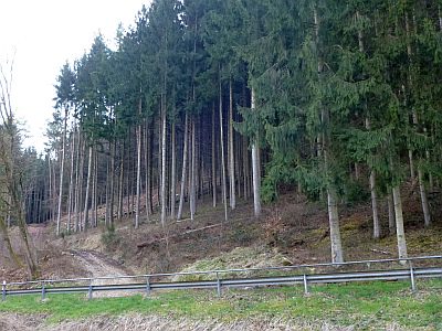 190 m
Field Names