Oratoires et stations du chemin de croix · XXe siècle
Unfallkreuz
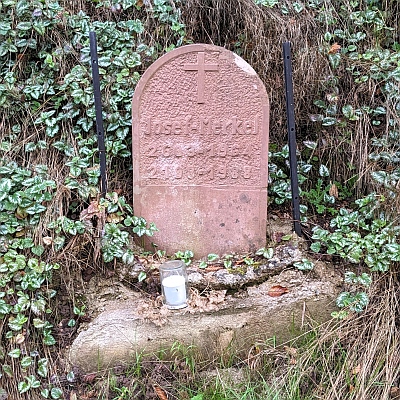
Description
La description n'est disponible qu'en allemand.
Traduire avec Google ouvre la page dans Google Traduction (service externe)
Classification
- Catégorie
- Édifices religieux
- Type d'objet
- Oratoires et stations du chemin de croix
- Date
- 1988
- Période
- XXe siècle
Localisation
- Arrondissement
- Trier-Saarburg
- Communauté de communes
- Trier-Land
- Commune
- Kordel
- Lieu-dit
- Im Friedbüsch
- Coordonnées
- WGS 84 : 49.830582, 6.647601 (Position : exacte) WGS 84 : 49° 49′ 50,1″ N, 6° 38′ 51,4″ E UTM 32 (ETRS89) : E 330827 · N 5522449
Sources
Sources des données
- [1] Stefan Ferring, Richard Schaffner: Wege,- Dorf- und Friedhofskreuze sowie Bildstöcke in Kordel und Umgebung. Dezember 2005.
- [2] Andy Dufresne & Red - Own work, CC BY-SA 4.0, https://commons.wikimedia.org/w/index.php?curid=138702783
Sur Internet
pfarrei-sankt-hildegard.de/start
Crédits photos
- Image 1: By Andy Dufresne & Red - Own work, CC BY-SA 4.0, https://commons.wikimedia.org/w/index.php?curid=138702783
Dernière modification : 15 mai 2024 Identifiant de l'objet : 10664
https://kulturdb.de/fr/objekt/10664-kordel-unfallkreuz
À proximité
Les objets les plus proches
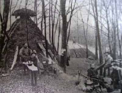 20 m
Charbonnières
Ehemaliger Meilerplatz
90 m
Charbonnières
Ehemaliger Meilerplatz
100 m
Charbonnières
Ehemaliger Meilerplatz
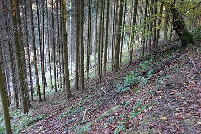 130 m
Extraction et transformation de matières premières
Glashütte Heidenberg
160 m
Charbonnières
Ehemaliger Meilerplatz
160 m
Charbonnières
Ehemaliger Meilerplatz
190 m
Charbonnières
Ehemaliger Meilerplatz
 190 m
Lieux-dits