Settlements · Celtic / Roman Period
Römische Bebauung


© GeoBasis-DE / LVermGeoRP, dl-de/by-2-0
There is no picture of this object yet. Do you have a photo that you would like to make available to the Kulturdatenbank? Submit a picture
Description
This description is only available in German.
Translate with Google opens this page in Google Translate (external service)
Kreuzung der Kreisstraße 4 / Bundesstraße 49 [1]
Classification
- Subject area
- Archaeological Monuments
- Category
- Settlements
- Object type
- Settlements
- Date
- Circa 500 vor Chr. bis circa 500 nach Chr.
- Period
- Celtic / Roman Period
Location
- District
- City of Trier
- Collective municipality
- Verbandsfreie Gemeinde Trier
- Town
- Trier
- Locality / location
- Euren
- Field name
- Im Buchenloch
- Coordinates
- WGS 84: 49.737359, 6.613380 (Position: exact) WGS 84: 49° 44′ 14.5″ N, 6° 36′ 48.2″ E UTM 32 (ETRS89): E 328036 · N 5512163
Sources
Data sources
- [1] Rettet das archäologische Erbe in Trier. Schriftenreihe des Rheinischen Landesmuseums Trier. Nr. 31. ISBN 3-923319-62-2 Online-Shop: www.landesmuseum-trier-shop.de
On the internet
Last edited: 21 Apr 2006 Object ID: 10947
https://kulturdb.de/en/objekt/10947-trier-roemische-bebauung
Nearby
The nearest objects
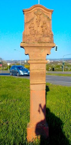 20 m
Wayside Shrines and Stations of the Cross
Sogenanntes Galgenkreuz
Railways
Ehemaliger Haltepunkt
Burial Mounds
Gräberfeld
Road Transport
Römische Straße
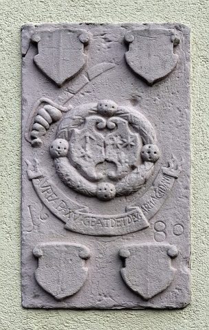 350 m
Coats of Arms
Wappenstein
Monastic Complexes
Ehemalige Wohnhaus des Jesuitenhofes
 360 m
Street Names
Adam-Stegerwald-Straße
Field Names