Burial Mounds · Celtic / Roman Period
Gräberfeld
- Listed monument


© GeoBasis-DE / LVermGeoRP, dl-de/by-2-0
There is no picture of this object yet. Do you have a photo that you would like to make available to the Kulturdatenbank? Submit a picture
Description
This description is only available in German.
Translate with Google opens this page in Google Translate (external service)
Spätrömisches / Merowingisches Gräberfeld. [1]
Classification
- Subject area
- Archaeological Monuments
- Category
- Burials
- Object type
- Burial Mounds
- Date
- Circa 500 vor Chr. bis circa 500 nach Chr.
- Period
- Celtic / Roman Period
Location
- District
- City of Trier
- Collective municipality
- Verbandsfreie Gemeinde Trier
- Town
- Trier
- Locality / location
- Euren
- Street
- An der Bundestraße 49
- Field name
- Pflanzgarten
- Coordinates
- WGS 84: 49.736312, 6.612382 (Position: exact) WGS 84: 49° 44′ 10.7″ N, 6° 36′ 44.6″ E UTM 32 (ETRS89): E 327960 · N 5512049
Sources
Data sources
- [1] Rettet das archäologische Erbe in Trier. Schriftenreihe des Rheinischen Landesmuseums Trier. Nr. 31. ISBN 3-923319-62-2 Online-Shop: www.landesmuseum-trier-shop.de
On the internet
Last edited: 21 Apr 2006 Object ID: 10953
https://kulturdb.de/en/objekt/10953-trier-graeberfeld
Nearby
The nearest objects
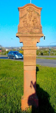 140 m
Wayside Shrines and Stations of the Cross
Sogenanntes Galgenkreuz
Settlements
Römische Bebauung
Railways
Ehemaliger Haltepunkt
Road Transport
Römische Straße
Field Names
Unter der Landstraße beim Maar
Monastic Complexes
Ehemalige Wohnhaus des Jesuitenhofes
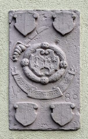 390 m
Coats of Arms
Wappenstein
 450 m
Street Names