Chapels · Gothic
Sankt Matthias - Ehem. Kapelle Sankt Katharinen


© GeoBasis-DE / LVermGeoRP, dl-de/by-2-0
There is no picture of this object yet. Do you have a photo that you would like to make available to the Kulturdatenbank? Submit a picture
Description
This description is only available in German.
Translate with Google opens this page in Google Translate (external service)
Sie befand sich an einem Verbindungsgang, der die Maternuskapelle mit einem südlichen Seitenschiff der Matthiasbasilika verband.
Sie bestand mindestens schon 1247 […]. Auch sie wurde bei dem verheerenden Brand vom 8./9. September 1783 zerstört und nicht wieder aufgebaut.
Classification
- Subject area
- Architectural and Art Monuments
- Category
- Religious Buildings
- Object type
- Chapels
- Date
- 1247
- Period
- Gothic
Location
- District
- City of Trier
- Collective municipality
- Verbandsfreie Gemeinde Trier
- Town
- Trier
- Locality / location
- Trier-Süd
- Street
- Matthiasstraße 83 A
- Field name
- Ortslage
- Coordinates
- WGS 84: 49.738326, 6.632578 (Position: exact) WGS 84: 49° 44′ 18.0″ N, 6° 37′ 57.3″ E UTM 32 (ETRS89): E 329423 · N 5512227
Sources
Data sources
- Rettet das archäologische Erbe in Trier. Schriftenreihe des Rheinischen Landesmuseums Trier. Nr. 31. ISBN 3-923319-62-2 und Sandra Ost: Friedhof St. Matthias. 2007 Matergloriosa Verlag, Trier. ISBN 978-3-9811323-6-6 Online-Shop: www.landesmuseum-trier-shop.de
On the internet
Last edited: 2 May 2008 Object ID: 10989
https://kulturdb.de/en/objekt/10989-trier-sued-sankt-matthias-ehem-kapelle-sankt-katharinen
Nearby
The nearest objects
Roman Tombs
Sankt Matthias - Gruft
Roman Tombs
Sankt Matthias - Gruft
 10 m
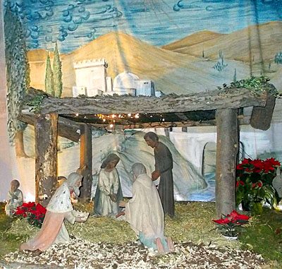
Nativity Scenes
Sankt Matthias - Weihnachtskrippe
 20 m
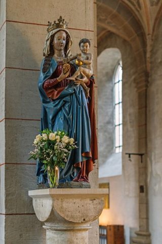
Wayside Shrines and Stations of the Cross
Sankt Matthias - Madonna von 1480
 20 m
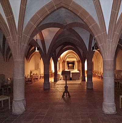
Monastic Complexes
Sankt Matthias - Krypta
Chapels
Sankt Matthias - Ehemalige Kapelle Sankt Maternus
 30 m
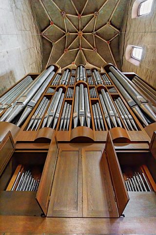
Organs
Sankt Matthias - Orgelgeschichte
 30 m
Pilgrimage Sites