Roman Tombs · Celtic / Roman Period
Sankt Matthias - Gruft
- Listed monument


© GeoBasis-DE / LVermGeoRP, dl-de/by-2-0
There is no picture of this object yet. Do you have a photo that you would like to make available to the Kulturdatenbank? Submit a picture
Classification
- Subject area
- Architectural and Art Monuments
- Category
- Burials
- Object type
- Roman Tombs
- Date
- Circa 500 vor Chr. bis circa 500 nach Chr.
- Period
- Celtic / Roman Period
Location
- District
- City of Trier
- Collective municipality
- Verbandsfreie Gemeinde Trier
- Town
- Trier
- Locality / location
- Trier-Süd
- Street
- Matthiasstraße 83 A
- Field name
- Ortslage
- Coordinates
- WGS 84: 49.738429, 6.632582 (Position: exact) WGS 84: 49° 44′ 18.3″ N, 6° 37′ 57.3″ E UTM 32 (ETRS89): E 329423 · N 5512239
Sources
Data sources
- [1] Petrus Becker, Das Erzbistum Trier 8: Die Benediktinerabtei St. Eucharius-St. Matthias vor Trier (Germania Sacra N. F. 34), Berlin/New York 1996. http://hdl.handle.net/11858/00-001S-0000-0005-7455-E
On the internet
Last edited: 8 Apr 2020 Object ID: 49344
https://kulturdb.de/en/objekt/49344-trier-sued-sankt-matthias-gruft
Nearby
The nearest objects
No picture
10 m
Chapels
Sankt Matthias - Ehem. Kapelle Sankt Katharinen
No picture
10 m
Chapels
Sankt Matthias - Ehemalige Kapelle Sankt Maternus
No picture
20 m
Roman Tombs
Sankt Matthias - Gruft
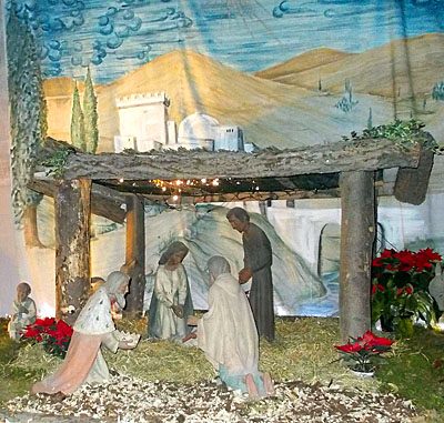 20 m
Nativity Scenes
Sankt Matthias - Weihnachtskrippe
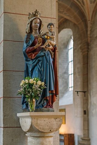 30 m
Wayside Shrines and Stations of the Cross
Sankt Matthias - Madonna von 1480
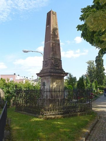 30 m
War Memorials
Sankt Matthias - Kriegerdenkmal (1)
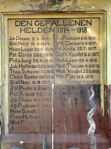 30 m
War Memorials
Sankt Matthias - Kriegerdenkmal (2)
 30 m
Temples, Sanctuaries