Chapels · Historicism / Art Nouveau
Pockenkapelle
- Listed monument


© GeoBasis-DE / LVermGeoRP, dl-de/by-2-0
There is no picture of this object yet. Do you have a photo that you would like to make available to the Kulturdatenbank? Submit a picture
Description
This description is only available in German.
Translate with Google opens this page in Google Translate (external service)
Classification
- Subject area
- Architectural and Art Monuments
- Category
- Religious Buildings
- Object type
- Chapels
- Date
- 1884
Location
- District
- Eifelkreis Bitburg-Prüm
- Town
- Prüm
- Street
- Kalvarienbergstraße 34
- Field name
- Ortslage
- Coordinates
- WGS 84: 50.207285, 6.417656 (Position: exact) WGS 84: 50° 12′ 26.2″ N, 6° 25′ 03.6″ E UTM 32 (ETRS89): E 315739 · N 5564870
Sources
Data sources
- [1] Rund um die Kirche im Dorf - Kirchen und Kapellen der Westeifel. Hrsg. Geschichtsverein Prümer Land, Prüm, 2004. ISBN: 3-931478-14-9 http://www.gvpl.de/
- [2] Denkmalliste der Generaldirektion Kulturelles Erbe, Rheinland-Pfalz; 2010.
On the internet
Last edited: 7 Nov 2012 Object ID: 11033
https://kulturdb.de/en/objekt/11033-pruem-pockenkapelle
Nearby
The nearest objects
 20 m
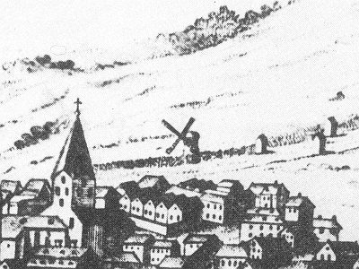
Windmills
Ehemalige Windmühle
Wayside Shrines and Stations of the Cross
Bildstock im Ölgarten
Town Parks and Public Green Spaces
Sogenannter Ölgarten
 150 m
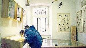
Museums
Museum
 180 m
Museums
Heimatmuseum
Wayside Shrines and Stations of the Cross
Kreuzweg - 3. Station
 220 m
Exhibitions, Cultural Centres and Memorial Sites
Geschichtsverein Prümer Land
Monastic Complexes