Catholic Churches · Gothic
Ehemalige Kirche Sankt Isidor
Ehemalige Pfarrkirche


© GeoBasis-DE / LVermGeoRP, dl-de/by-2-0
There is no picture of this object yet. Do you have a photo that you would like to make available to the Kulturdatenbank? Submit a picture
Classification
- Subject area
- Architectural and Art Monuments
- Category
- Religious Buildings
- Object type
- Catholic Churches
- Date
- 13./14. Jahrhundert
- Period
- Gothic
Location
- District
- City of Trier
- Collective municipality
- Verbandsfreie Gemeinde Trier
- Town
- Trier
- Locality / location
- Trier-West/Pallien
- Street
- Eurener Straße
- Field name
- Ortslage
- Coordinates
- WGS 84: 49.752250, 6.623216 (Position: presumed) WGS 84: 49° 45′ 08.1″ N, 6° 37′ 23.6″ E UTM 32 (ETRS89): E 328797 · N 5513796
Sources
Data sources
- [1] Rettet das archäologische Erbe in Trier. Schriftenreihe des Rheinischen Landesmuseums Trier. Nr. 31. ISBN 3-923319-62-2 Online-Shop: www.landesmuseum-trier-shop.de
On the internet
Last edited: 16 Aug 2022 Object ID: 11066
https://kulturdb.de/en/objekt/11066-trier-west-pallien-ehemalige-kirche-sankt-isidor
Nearby
The nearest objects
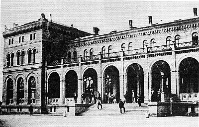 60 m
Railways
Ehemaliger Westbahnhof
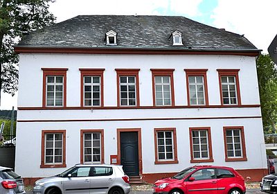 90 m
Town Houses and Commercial Buildings
Krüppelwalmdachbau
No picture
100 m
Settlements
Historische Siedlung Überbrücken
No picture
110 m
Fortresses and Bunkers
Luftschutzbunker
No picture
110 m
Town Houses and Commercial Buildings
Rotsandsteinquaderbau
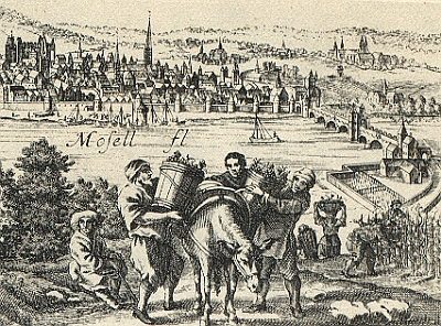 120 m
Vineyard Sites
Ultra Pontem
No picture
130 m
Catering, Inns and Hotels
Ehemaliges Ausflugslokal Reiters Garten
No picture
170 m
Street Names