Catering, Inns and Hotels · Historicism / Art Nouveau
Ehemaliges Ausflugslokal Reiters Garten


© GeoBasis-DE / LVermGeoRP, dl-de/by-2-0
There is no picture of this object yet. Do you have a photo that you would like to make available to the Kulturdatenbank? Submit a picture
Classification
- Subject area
- Architectural and Art Monuments
- Category
- Economy, Trade and Transport
- Object type
- Catering, Inns and Hotels
- Date
- 1899 1874
Location
- District
- City of Trier
- Collective municipality
- Verbandsfreie Gemeinde Trier
- Town
- Trier
- Locality / location
- Trier-West/Pallien
- Street
- Luxemburger Straße 1
- Field name
- Ortslage
- Coordinates
- WGS 84: 49.751620, 6.624733 (Position: exact) WGS 84: 49° 45′ 05.8″ N, 6° 37′ 29.0″ E UTM 32 (ETRS89): E 328904 · N 5513723
Sources
Data sources
- [1] Plan von Trier 1:8000 Lithographie und Verlag Jacob Lintz, Trier. In Hochwald- und Hunsrückführer. Verlag der Buchdruckerei R. Voigtänder, Kreuznach, 1899.
On the internet
Last edited: 24 Oct 2019 Object ID: 48548
https://kulturdb.de/en/objekt/48548-trier-west-pallien-ehemaliges-ausflugslokal-reiters-garten
Nearby
The nearest objects
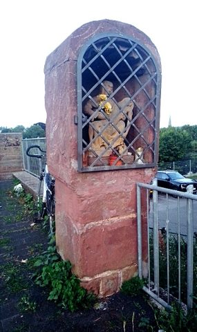 less than 10 m
Wayside Shrines and Stations of the Cross
Bildstock mit Nische
No picture
50 m
Settlements
Historische Siedlung Überbrücken
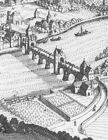 50 m
Town Fortifications
Ehemalige Brückenpforte
No picture
50 m
Town Fortifications
Ehemalige Porta Inclyta
No picture
60 m
Fortresses and Bunkers
Luftschutzbunker
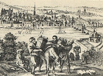 60 m
Vineyard Sites
Ultra Pontem
No picture
60 m
Town Houses and Commercial Buildings
Rotsandsteinquaderbau
No picture
100 m
Town Houses and Commercial Buildings