Town Fortifications · Celtic / Roman Period
Ehemalige Porta Inclyta


© GeoBasis-DE / LVermGeoRP, dl-de/by-2-0
There is no picture of this object yet. Do you have a photo that you would like to make available to the Kulturdatenbank? Submit a picture
Description
This description is only available in German.
Translate with Google opens this page in Google Translate (external service)
[...] Besonders prächtig war der Stadtzugang von der Römerbrücke aus gestaltet. Das in die hier zurückspringende Mauer eingefügte Tor (Porta Inclytia = Berühmtes Tor) ist späterem Raubbau zum Opfer gefallen.
Classification
- Subject area
- Archaeological Monuments
- Object type
- Town Fortifications
- Date
- Ende des 2. Jahrhunderts nach Chr.
- Period
- Celtic / Roman Period
Location
- District
- City of Trier
- Collective municipality
- Verbandsfreie Gemeinde Trier
- Town
- Trier
- Locality / location
- Trier-West/Pallien
- Street
- Römerbrücke
- Field name
- Ortslage
- Coordinates
- WGS 84: 49.751933, 6.625193 (Position: exact) WGS 84: 49° 45′ 07.0″ N, 6° 37′ 30.7″ E UTM 32 (ETRS89): E 328938 · N 5513757
Sources
Data sources
- Heinz Heinen 2000 Jahre Trier, Bd. 1, Trier und das Trevererland in römischer Zeit. Spee-Verlag, Trier 2002. ISBN 3-87760-065-4
On the internet
Last edited: 16 Jul 2008 Object ID: 15315
https://kulturdb.de/en/objekt/15315-trier-west-pallien-ehemalige-porta-inclyta
Nearby
The nearest objects
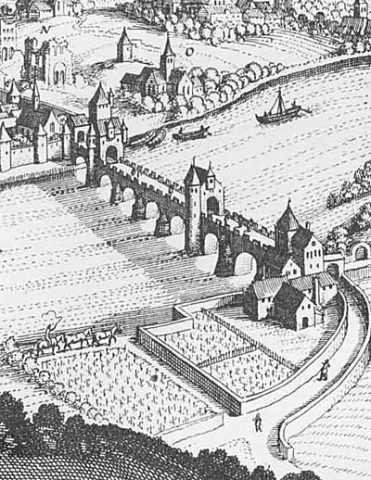 less than 10 m
Town Fortifications
Ehemalige Brückenpforte
Town Houses and Commercial Buildings
Rotsandsteinquaderbau
Settlements
Historische Siedlung Überbrücken
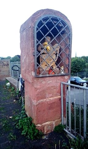 40 m
Wayside Shrines and Stations of the Cross
Bildstock mit Nische
Catering, Inns and Hotels
Ehemaliges Ausflugslokal Reiters Garten
70 m
Town Fortifications
Mittelster Turm up der Brücken
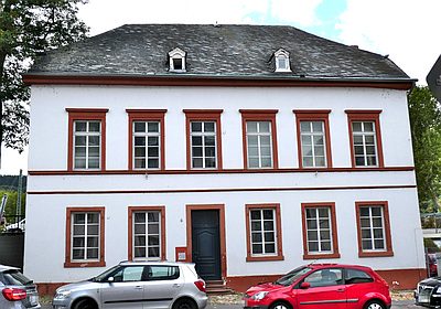 90 m
Town Houses and Commercial Buildings
Krüppelwalmdachbau
Temples, Sanctuaries