Settlements · Gothic
Historische Siedlung Pallien


Classification
- Subject area
- Archaeological Monuments
- Category
- Settlements
- Object type
- Settlements
- Date
- 13./14. Jahrhundert
- Period
- Gothic
Location
- District
- City of Trier
- Collective municipality
- Verbandsfreie Gemeinde Trier
- Town
- Trier
- Locality / location
- Trier-West/Pallien
- Street
- Pallienerstraße
- Field name
- Ortslage
- Coordinates
- WGS 84: 49.766739, 6.632171 (Position: exact) WGS 84: 49° 46′ 00.3″ N, 6° 37′ 55.8″ E UTM 32 (ETRS89): E 329493 · N 5515387
Sources
Data sources
- [1] Rettet das archäologische Erbe in Trier. Schriftenreihe des Rheinischen Landesmuseums Trier. Nr. 31. ISBN 3-923319-62-2 Online-Shop: www.landesmuseum-trier-shop.de
On the internet
de.wikipedia.org/wiki/Trier-West/Pallien
Picture credits
- Picture 1: Max Lazarus: Blick auf die Mosel bei Pallien, um 1928. © Stadtmuseum Simeonstift Trier.
- Picture 2: Max Lazarus: Landschaft im Busental, 1931. © Stadtmuseum Simeonstift Trier.
- Picture 3: Max Lazarus Blick auf Trier, um 1928. © Stadtmuseum Simeonstift Trier.
- Picture 4: alphabet_puzzle in: http://www.flickr.com/
- Picture 5: maedchencamp in: http://www.flickr.com/
- Picture 6: http://www.flickr.com/photos/libaer2002/
Last edited: 8 May 2010 Object ID: 11116
https://kulturdb.de/en/objekt/11116-trier-west-pallien-historische-siedlung-pallien
Nearby
The nearest objects
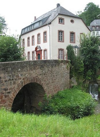 10 m
Road Transport
Brücke über den Sirzenicher Bach
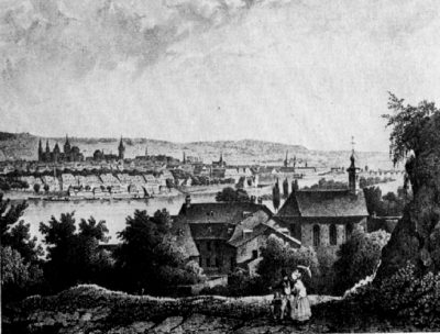 20 m
Catholic Churches
Sankt Simon und Juda - Historische Ansichten
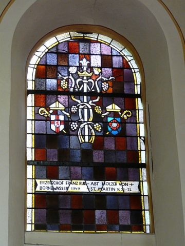 20 m
Catholic Churches
Sankt Simon und Juda - Fenster
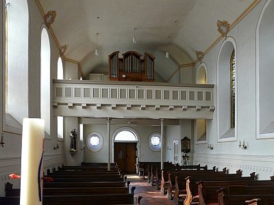 20 m
Organs
Sankt Simon und Juda - Orgel
 20 m
Catholic Churches
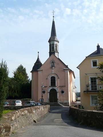
Sankt Simon und Juda - Portal
 20 m
Catholic Churches
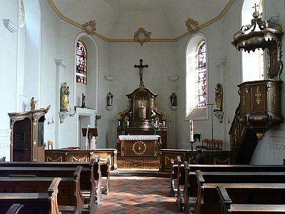
Sankt Simon und Juda - Ausstattung
 20 m
Catholic Churches
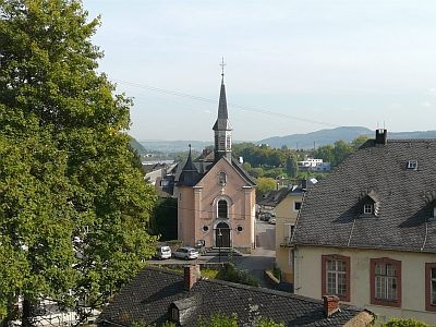
Sankt Simon und Juda
 20 m
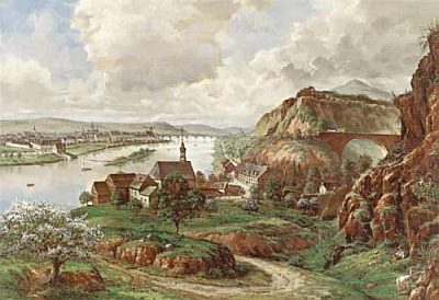
Extraction and Processing of Raw Materials