Extraction and Processing of Raw Materials · Celtic / Roman Period
Antiker Steinbruch


Description
This description is only available in German.
Translate with Google opens this page in Google Translate (external service)
[...] Erst in späteren Jahrhunderten entwickelten sich die heutigen Stadtteile jenseits des Flusses, unter denen besonders Pallien stark von der Felsenlandschaft geprägt wird. Der Ort ruht nämlich komplett auf der Sohle eines antiken Steinbruchs ![...]
Classification
- Subject area
- Architectural and Art Monuments
- Category
- Economy, Trade and Transport
- Object type
- Extraction and Processing of Raw Materials
- Date
- Circa 500 vor Chr. bis circa 500 nach Chr.
- Period
- Celtic / Roman Period
Location
- District
- City of Trier
- Collective municipality
- Verbandsfreie Gemeinde Trier
- Town
- Trier
- Locality / location
- Trier-West/Pallien
- Field name
- Ortslage
- Coordinates
- WGS 84: 49.766731, 6.631921 (Position: presumed) WGS 84: 49° 46′ 00.2″ N, 6° 37′ 54.9″ E UTM 32 (ETRS89): E 329475 · N 5515386
Sources
Data sources
- Karl-Josef Prüm: 10 Wanderungen auf den Traumpfaden der Treverer. Verlag Sanfter Tourismus - Trier, 2007 www.triastour.de
On the internet
Picture credits
Last edited: 27 Jul 2009 Object ID: 17232
https://kulturdb.de/en/objekt/17232-trier-west-pallien-antiker-steinbruch
Nearby
The nearest objects
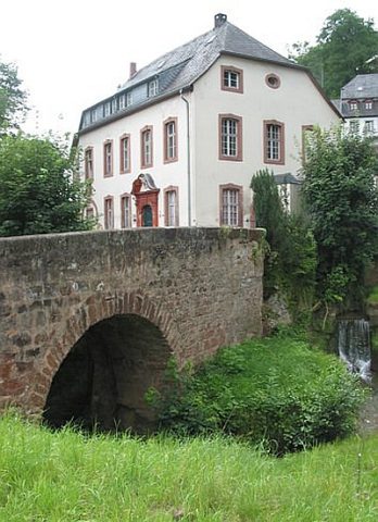 less than 10 m
Road Transport
Brücke über den Sirzenicher Bach
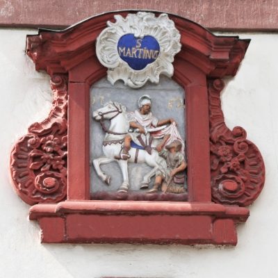 20 m
Farmhouses and Farm Buildings
Sogenannter Martinerhof - Sankt Martin
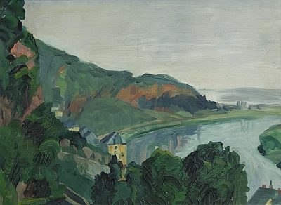 20 m
Settlements
Historische Siedlung Pallien
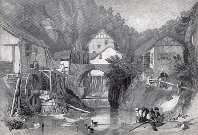 20 m
Mills
Ehemalige untere Mühle
Mills
Ehemalige Mühle
 20 m
Farmhouses and Farm Buildings
Sogenannter Martinerhof
20 m
Coats of Arms
Sogenannter Martinerhof - Wappenkartusche
30 m
Farmhouses and Farm Buildings