Mills · Neoclassicism
Ehemalige Mühle


© GeoBasis-DE / LVermGeoRP, dl-de/by-2-0
There is no picture of this object yet. Do you have a photo that you would like to make available to the Kulturdatenbank? Submit a picture
Classification
- Subject area
- Architectural and Art Monuments
- Object type
- Mills
- Date
- 1845
- Period
- Neoclassicism
Location
- District
- City of Trier
- Collective municipality
- Verbandsfreie Gemeinde Trier
- Town
- Trier
- Locality / location
- Trier-West/Pallien
- Street
- Bei Bonner Straße 25
- Field name
- Ortslage
- Coordinates
- WGS 84: 49.766552, 6.631987 (Position: exact) WGS 84: 49° 45′ 59.6″ N, 6° 37′ 55.2″ E UTM 32 (ETRS89): E 329479 · N 5515366
Sources
Data sources
- [1] Stadtarchiv Trier: Ausschnitt aus dem Plan von Trier, entworfen und gezeichnet von A[ugust] Berthold, [nebst] Umgebung von Trier (ca. 1845): Kt 6/115a
On the internet
Last edited: 2 Aug 2022 Object ID: 50369
https://kulturdb.de/en/objekt/50369-trier-west-pallien-ehemalige-muehle
Nearby
The nearest objects
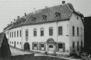 10 m
Farmhouses and Farm Buildings
Sogenannter Martinerhof - Relief
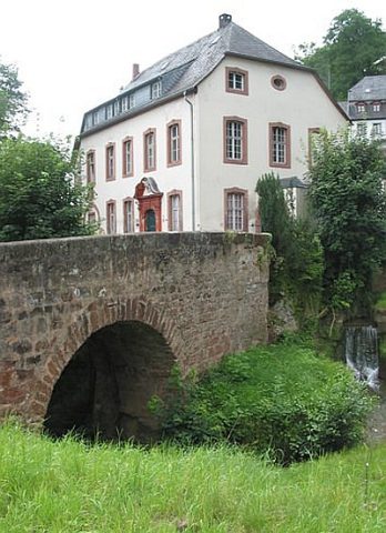 20 m
Road Transport
Brücke über den Sirzenicher Bach
20 m
Farmhouses and Farm Buildings
Sogenannter Martinerhof
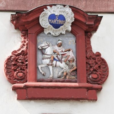 20 m
Farmhouses and Farm Buildings
Sogenannter Martinerhof - Sankt Martin
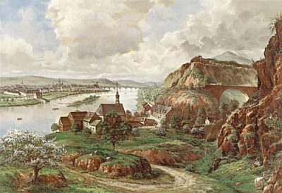 20 m
Extraction and Processing of Raw Materials
Antiker Steinbruch
20 m
Coats of Arms
Sogenannter Martinerhof - Wappenkartusche
 20 m
Settlements
Historische Siedlung Pallien
No picture
30 m
Town Houses and Commercial Buildings