Street Names · Neoclassicism
Dockweiler Straße


© GeoBasis-DE / LVermGeoRP, dl-de/by-2-0
There is no picture of this object yet. Do you have a photo that you would like to make available to the Kulturdatenbank? Submit a picture
Description
This description is only available in German.
Translate with Google opens this page in Google Translate (external service)
Diese, Mitte der 1840er Jahre errichtete Bezirksstraße Nr. 16, die von Stadtkyll kommend nach Bernkastel führt, war die Hauptverbindung der Eifel hin zur Mosel. Sie führt über Dockweiler, 9 Kilometer von Daun entfernt.
Classification
- Subject area
- History
- Category
- Place Names / Local History
- Object type
- Street Names
- Date
- Mitte der 1840er Jahre
- Period
- Neoclassicism
Location
- District
- Vulkaneifel
- Town
- Daun
- Street
- Dockweiler Straße
- Field name
- Ortslage
- Coordinates
- WGS 84: 50.201418, 6.825000 (Position: exact) WGS 84: 50° 12′ 05.1″ N, 6° 49′ 30.0″ E UTM 32 (ETRS89): E 344783 · N 5563290
Sources
Data sources
- Alois Mayer, Daun-Pützborn, aus dem Buch "Wie schön bist Du - mein Daun", Herausgegeben vom Eifelverein Daun 1988
On the internet
Last edited: 26 Nov 2007 Object ID: 11398
https://kulturdb.de/en/objekt/11398-daun-dockweiler-strasse
Nearby
The nearest objects
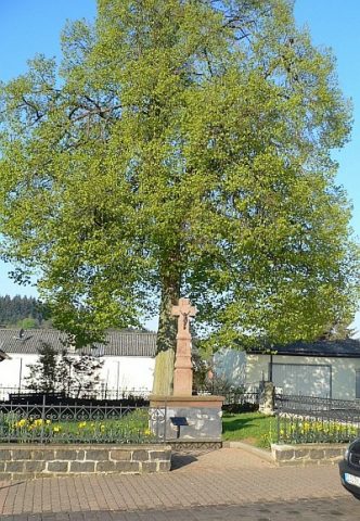 70 m
Street Names
Kampbüchelstraße
Jewish History
Jüdische Siedlung
 120 m
Groups of Trees
Alter Baumbestand
130 m
Groups of Trees
Alter Baumbestand auf dem evangelischen Friedhof
130 m
Groups of Trees
Alter Baumbestand
140 m
Groups of Trees
Alter Baumbestand
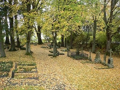 140 m
Christian Cemeteries
Alter evangelischer Friedhof
150 m
Groups of Trees