Street Names · Undated
Bahnhofsweg


© GeoBasis-DE / LVermGeoRP, dl-de/by-2-0
There is no picture of this object yet. Do you have a photo that you would like to make available to the Kulturdatenbank? Submit a picture
Description
This description is only available in German.
Translate with Google opens this page in Google Translate (external service)
Dieser Weg führt vom Bahnhof aus über die hohe Städterbrücke (Eselsbrücke genannt) den steilen Berg hinauf (Flurnamen Rammelsberg; daher auch noch der Name Rammelspeedjen) durch die Schweiz in die Leopoldstraße.
Classification
- Subject area
- History
- Category
- Place Names / Local History
- Object type
- Street Names
- Date
- Undatiert
- Period
- Undated
Location
- District
- Vulkaneifel
- Town
- Daun
- Street
- Bahnhofsweg
- Field name
- Rammelsberg
- Coordinates
- WGS 84: 50.197750, 6.830105 (Position: exact) WGS 84: 50° 11′ 51.9″ N, 6° 49′ 48.4″ E UTM 32 (ETRS89): E 345135 · N 5562871
Sources
Data sources
- Alois Mayer, Daun-Pützborn, aus dem Buch "Wie schön bist Du - mein Daun", Herausgegeben vom Eifelverein Daun 1988
On the internet
Last edited: 10 Aug 2006 Object ID: 11405
https://kulturdb.de/en/objekt/11405-daun-bahnhofsweg
Nearby
The nearest objects
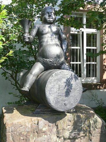 40 m
Place Names / Local History
Weingott Bacchus
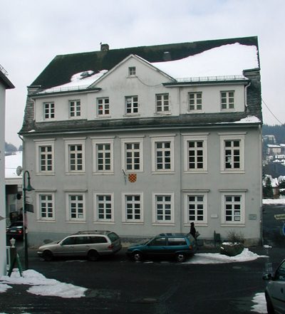 60 m
Town Halls
Ehemaliges Bürgermeisteramt
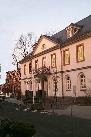 60 m
Museums
Eifel-Vulkanmuseum im Geozentrum
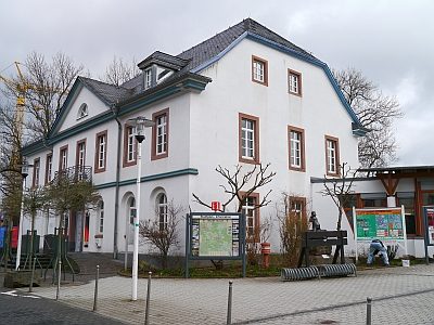 60 m
Administrative Buildings
Ehemaliges Landratsamt
Castles
Burgmannenhaus
 70 m
War Memorials
Friedensbrunnen
Castles
Burgmannenhaus
Castles