Street Names · Undated
Oberes Daufeld


© GeoBasis-DE / LVermGeoRP, dl-de/by-2-0
There is no picture of this object yet. Do you have a photo that you would like to make available to the Kulturdatenbank? Submit a picture
Description
This description is only available in German.
Translate with Google opens this page in Google Translate (external service)
Dieses Baugebiet am südöstlichen Abhange des Wehrbüsches ist vielleicht aus dem Namen Dauner Feld zu erklären. Im Dialekt wird er es heute noch Daufert genannt. So steht es auch in alten Katasterkarten anfangs des 19. Jahrhunderts.
Classification
- Subject area
- History
- Category
- Place Names / Local History
- Object type
- Street Names
- Date
- Undatiert
- Period
- Undated
Location
- District
- Vulkaneifel
- Town
- Daun
- Street
- Oberes Daufeld
- Field name
- Ortslage
- Coordinates
- WGS 84: 50.190760, 6.830782 (Position: exact) WGS 84: 50° 11′ 26.7″ N, 6° 49′ 50.8″ E UTM 32 (ETRS89): E 345161 · N 5562093
Sources
Data sources
- Alois Mayer, Daun-Pützborn, aus dem Buch "Wie schön bist Du - mein Daun", Herausgegeben vom Eifelverein Daun 1988
On the internet
Last edited: 10 Aug 2006 Object ID: 11408
https://kulturdb.de/en/objekt/11408-daun-oberes-daufeld
Nearby
The nearest objects
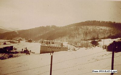 80 m
Fortifications and Military Sites
Ehemaliges Reichsarbeitsdienstlager Daun
Street Names
Philosophenweg
Street Names
Reiffenbergstraße
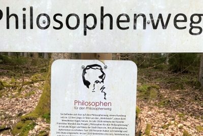 150 m
Works of Art
Philosophen für den Philosophenweg (1)
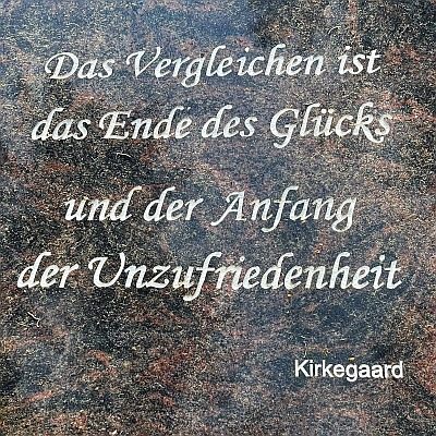 150 m
Works of Art
Philosophen für den Philosophenweg (4)
Street Names
Hörschweg
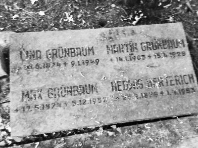 180 m
Christian Cemeteries
Aufgelassener Friedhof
Town Houses and Commercial Buildings