Street Names · Undated
Gartenstraße


© GeoBasis-DE / LVermGeoRP, dl-de/by-2-0
There is no picture of this object yet. Do you have a photo that you would like to make available to the Kulturdatenbank? Submit a picture
Description
This description is only available in German.
Translate with Google opens this page in Google Translate (external service)
Einheimische Dauner nennen diesen Distrikt heute noch unn der Holl. Die Straße wurde nach den zahlreichen Gärten benannt, die es seinerzeit dort gab.
Classification
- Subject area
- History
- Category
- Place Names / Local History
- Object type
- Street Names
- Date
- Undatiert
- Period
- Undated
Location
- District
- Vulkaneifel
- Town
- Daun
- Street
- Gartenstraße
- Field name
- Ortslage
- Coordinates
- WGS 84: 50.200696, 6.829287 (Position: exact) WGS 84: 50° 12′ 02.5″ N, 6° 49′ 45.4″ E UTM 32 (ETRS89): E 345087 · N 5563200
Sources
Data sources
- Alois Mayer, Daun-Pützborn, aus dem Buch "Wie schön bist Du - mein Daun", Herausgegeben vom Eifelverein Daun 1988
On the internet
Last edited: 26 Nov 2007 Object ID: 11416
https://kulturdb.de/en/objekt/11416-daun-gartenstrasse
Nearby
The nearest objects
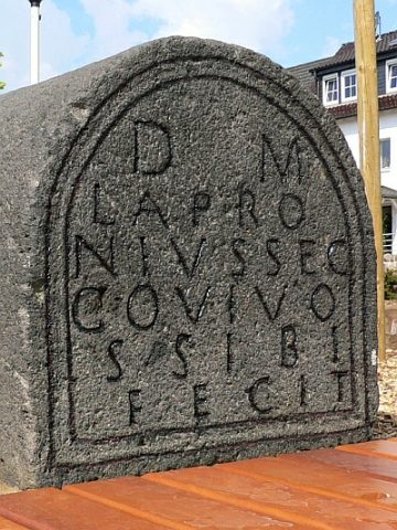 150 m
Roman Tombs
Römischer Grabstein
 150 m
Market Towns
Marktort Daun
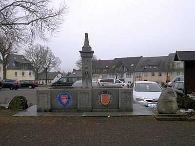 170 m
War Memorials
Feuerwehrbrunnen
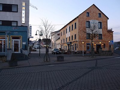 180 m
Street Names
Leopoldstraße
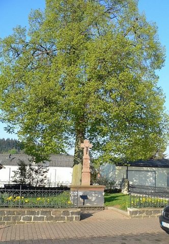 190 m
Wayside Shrines and Stations of the Cross
Kampbüchelskreuz
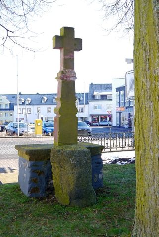 190 m
Execution Sites
Thing- und Gerichtsstätte Kampbüchel
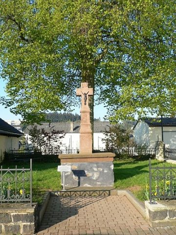 200 m
Chapels
Ehemalige Kampbüchelskapelle
200 m
Lime Trees