Street Names · Gothic
Arensbergstraße


© GeoBasis-DE / LVermGeoRP, dl-de/by-2-0
There is no picture of this object yet. Do you have a photo that you would like to make available to the Kulturdatenbank? Submit a picture
Description
This description is only available in German.
Translate with Google opens this page in Google Translate (external service)
Umfasst die 'uralten' ehemaligen Dauner Wegebezeichnungen: Kehr*, Arensberg und Dreisgasse*. (*Diese Begriffe tauchen bereits in der Beschreibung des Burgfriedens 1437 auf).
Classification
- Subject area
- History
- Category
- Place Names / Local History
- Object type
- Street Names
- Date
- 1437
- Period
- Gothic
Location
- District
- Vulkaneifel
- Town
- Daun
- Street
- Arensbergstraße
- Field name
- Ortslage
- Coordinates
- WGS 84: 50.195243, 6.832428 (Position: exact) WGS 84: 50° 11′ 42.9″ N, 6° 49′ 56.7″ E UTM 32 (ETRS89): E 345293 · N 5562588
Sources
Data sources
- Alois Mayer, Daun-Pützborn, aus dem Buch "Wie schön bist Du - mein Daun", Herausgegeben vom Eifelverein Daun 1988
On the internet
Last edited: 10 Aug 2006 Object ID: 11419
https://kulturdb.de/en/objekt/11419-daun-arensbergstrasse
Nearby
The nearest objects
Street Names
Wirichstraße
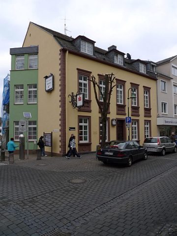 80 m
Courthouses
Ehemaliges Amtsgericht
Field Names
Dreespesch
 90 m
Altars
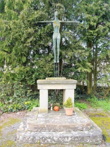
Sankt Nikolaus - Altar auf dem Vorplatz
 100 m
Burial Sites
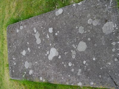
Sankt Nikolaus - Grabplatte Johannes Ferber
 130 m
Burial Sites
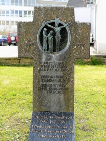
Sankt Nikolaus - Grabstein Johannes Thomas
Street Names
Waldenbungert
Castles