Street Names · Undated
Kreuzbergweg


© GeoBasis-DE / LVermGeoRP, dl-de/by-2-0
There is no picture of this object yet. Do you have a photo that you would like to make available to the Kulturdatenbank? Submit a picture
Description
This description is only available in German.
Translate with Google opens this page in Google Translate (external service)
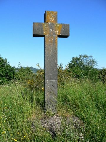
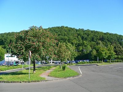
Markanter Berg nördlich von Daun, Richtung Dockweiler. Auf seiner Spitze (502 Meter) steht ein altes steinernes Kreuz sowie das erste in Daun errichtete Feriendorf (Dronkehof).
Classification
- Subject area
- History
- Category
- Place Names / Local History
- Object type
- Street Names
- Date
- Undatiert
- Period
- Undated
Location
- District
- Vulkaneifel
- Town
- Daun
- Street
- Kreuzbergweg
- Field name
- Ortslage
- Coordinates
- WGS 84: 50.201765, 6.819137 (Position: exact) WGS 84: 50° 12′ 06.4″ N, 6° 49′ 08.9″ E UTM 32 (ETRS89): E 344366 · N 5563340
Sources
Data sources
- Alois Mayer, Daun-Pützborn, aus dem Buch "Wie schön bist Du - mein Daun", Herausgegeben vom Eifelverein Daun 1988
On the internet
Last edited: 10 Aug 2006 Object ID: 11422
https://kulturdb.de/en/objekt/11422-daun-kreuzbergweg
Nearby
The nearest objects
Volcanoes
Vulkan Kreuzberg
 220 m
Wayside Shrines and Stations of the Cross
Basaltkreuz auf dem Kreuzberg
 230 m
Catholic Churches
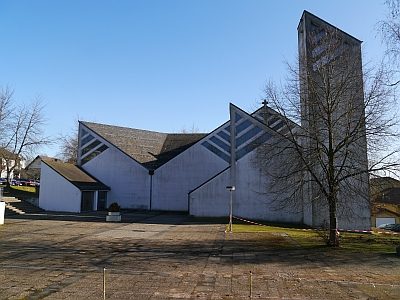
Ehemalige Thomas-Morus-Kirche
 230 m
Catholic Churches
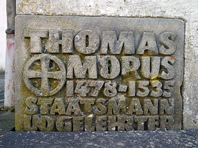
Ehemalige Thomas-Morus-Kirche - Grundstein
 230 m
Catholic Churches
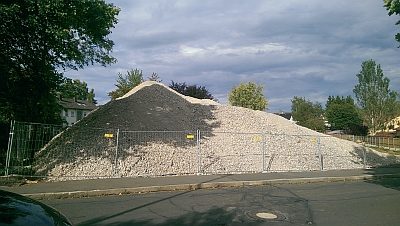
Ehemalige Thomas-Morus-Kirche - Abriss
 400 m
Street Names
Warthweg
Field Names
Oberst Ritzerath
Oaks