Farmhouses and Farm Buildings · Renaissance
Wohnhaus
- Listed monument


© GeoBasis-DE / LVermGeoRP, dl-de/by-2-0
There is no picture of this object yet. Do you have a photo that you would like to make available to the Kulturdatenbank? Submit a picture
Description
This description is only available in German.
Translate with Google opens this page in Google Translate (external service)
Vorderes Drittel eines nachträglich geteilten, giebelständigen Hauses, mit dem überliefertem Baujahr 1691.
Nach der vor 1865 erfolgten Teilung an der rechten Traufseite um einen Raum erweite rt, der Eingang wohl erst später aus der Mitte der Giebelseite hierher verlegt (im Sturz datiert 1890).
Innen ist der alte Längsflur mit der steinernen Wendeltreppe zum Obergeschoß erhalten. [1]
Classification
- Subject area
- Architectural and Art Monuments
- Category
- Residential and Farm Buildings
- Object type
- Farmhouses and Farm Buildings
- Date
- 1691
- Period
- Renaissance
Location
- District
- Eifelkreis Bitburg-Prüm
- Collective municipality
- Bitburger Land
- Municipality
- Kyllburgweiler
- Street
- Dorfstraße 30
- Field name
- Aufm Görend
- Coordinates
- WGS 84: 50.051153, 6.621633 (Position: exact) WGS 84: 50° 03′ 04.2″ N, 6° 37′ 17.9″ E UTM 32 (ETRS89): E 329739 · N 5547028
Sources
Data sources
- [1] Homepage der Initiative Region Trier e.V. Sehen & Erleben - Bau-Denkmäler http://www.regiontrier.de/cgi/bin
On the internet
bitburgerland.de/og-kyllburgweiler/ortsgemeinde-kyllburgweiler
Last edited: 27 Oct 2006 Object ID: 11583
https://kulturdb.de/en/objekt/11583-kyllburgweiler-wohnhaus
Nearby
The nearest objects
Wayside Shrines and Stations of the Cross
Wegekreuz
Farmhouses and Farm Buildings
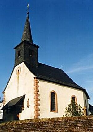
Backhaus
 100 m
Place Names / Local History
Erste Erwähnung als Wilre
 100 m
Coats of Arms
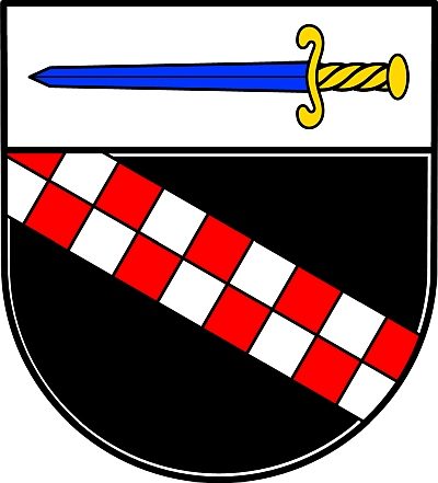
Wappen der Gemeinde Kyllburgweiler
Farmhouses and Farm Buildings
Backhaus
Farmhouses and Farm Buildings
Quereinhaus
Field Names
Auf dem obersten Kungelspesch
Wayside Shrines and Stations of the Cross