Wayside Shrines and Stations of the Cross · Baroque / Rococo
Schaftkreuz von 1758
- Listed monument


© GeoBasis-DE / LVermGeoRP, dl-de/by-2-0
There is no picture of this object yet. Do you have a photo that you would like to make available to the Kulturdatenbank? Submit a picture
Description
This description is only available in German.
Translate with Google opens this page in Google Translate (external service)
Der in der Mitte leicht gebauchte Schaft steckt heute mit dem unteren Drittel im Boden, so daß von der langen Inschrift nur noch die Errichternamen PHILIPPUS SCHILEN CIRVACIUS IASTER VON WIELER zu lesen sind. Das zugehöriges Abschlußkreuz, der Korpus ist stark verwittert. [1]
Classification
- Subject area
- Architectural and Art Monuments
- Category
- Religious Buildings
- Object type
- Wayside Shrines and Stations of the Cross
- Date
- 1758
- Period
- Baroque / Rococo
Location
- District
- Eifelkreis Bitburg-Prüm
- Collective municipality
- Bitburger Land
- Municipality
- Kyllburgweiler
- Street
- Am Friedhof
- Field name
- Hinter den Zäunen
- Coordinates
- WGS 84: 50.052293, 6.619953 (Position: exact) WGS 84: 50° 03′ 08.3″ N, 6° 37′ 11.8″ E UTM 32 (ETRS89): E 329623 · N 5547159
Sources
Data sources
- [1] Hans Hermann Reck (Bearb.): Kreis Bitburg-Prüm. Verbandsgemeinden Kyllburg und Speicher (= Kulturdenkmäler in Rheinland-Pfalz. Denkmaltopographie Bundesrepublik Deutschland. Band 9.1). Wernersche Verlagsgesellschaft, Worms 1991, ISBN 3-88462-081-9.
On the internet
bitburgerland.de/og-kyllburgweiler/ortsgemeinde-kyllburgweiler
Last edited: 30 Jan 2026 Object ID: 9603
https://kulturdb.de/en/objekt/9603-kyllburgweiler-schaftkreuz-von-1758
Nearby
The nearest objects
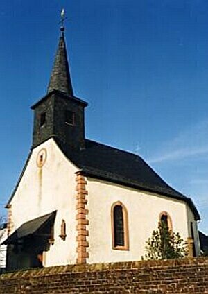 10 m
Catholic Churches
Sankt Wendelin (1)
10 m
Catholic Churches
Sankt Wendelin (2)
Farmhouses and Farm Buildings
Hofanlage
Farmhouses and Farm Buildings
Quereinhaus
Farmhouses and Farm Buildings
Backhaus
70 m
Place Names / Local History
Erste Erwähnung als Wilre
 70 m
Coats of Arms
Wappen der Gemeinde Kyllburgweiler
Farmhouses and Farm Buildings