Street Names · Gothic
Am Rothenberg


© GeoBasis-DE / LVermGeoRP, dl-de/by-2-0
There is no picture of this object yet. Do you have a photo that you would like to make available to the Kulturdatenbank? Submit a picture
Description
This description is only available in German.
Translate with Google opens this page in Google Translate (external service)
Benannt nach dem geologisch aus Rotliegendem bestehenden Berg. Bezeugt ist um 1428 die Insel Geyßwirdt prope rubeum montem, 1309 die Quinter Mahlmühle prope rubeum montem. [1]
Classification
- Subject area
- History
- Category
- Place Names / Local History
- Object type
- Street Names
- Date
- 1428
- Period
- Gothic
Location
- District
- City of Trier
- Collective municipality
- Verbandsfreie Gemeinde Trier
- Town
- Trier
- Locality / location
- Ehrang-Quint
- Street
- Am Rothenberg
- Field name
- Ortslage
- Coordinates
- WGS 84: 49.827581, 6.708099 (Position: exact) WGS 84: 49° 49′ 39.3″ N, 6° 42′ 29.2″ E UTM 32 (ETRS89): E 335167 · N 5521980
Sources
Data sources
- [1] Werner Schuhn: Ehrang. Landschaft, Geschichte, Gegenwart. 2 Bände. Trier 1989. Hrsg.: Arbeitsgemeinschaft für Landesgeschichte und Volkskunde des Trierer Raumes.
On the internet
Last edited: 22 Nov 2006 Object ID: 11625
https://kulturdb.de/en/objekt/11625-trier-am-rothenberg
Nearby
The nearest objects
Field Names
Quintwiese
Railways
Meulenwald-Tunnel - Westportal
 160 m
Charcoal Kilns
Ehemaliger Meilerplatz
Black Locusts
Baum-Welt-Pfad - Robinie
 170 m
Pilgrimage Routes
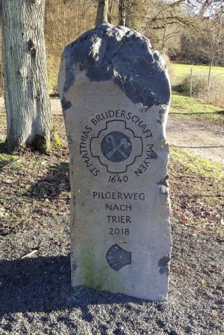
Pilgerstein Nr. 11
180 m
Charcoal Kilns
Ehemaliger Meilerplatz
Giant Sequoias
Baum-Welt-Pfad - Urweltmammutbaum
 270 m
Ironworks