Field Names · Historicism / Art Nouveau
Quintwiese


© GeoBasis-DE / LVermGeoRP, dl-de/by-2-0
There is no picture of this object yet. Do you have a photo that you would like to make available to the Kulturdatenbank? Submit a picture
Description
This description is only available in German.
Translate with Google opens this page in Google Translate (external service)
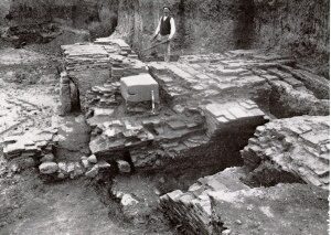
In der Quint stand wahrscheinlich der 5. Meilenstein der Römerstraße von Trier zum Rhein ( quintus lapis entspr. 5 Leugen = rd. 11 km). [1]
Classification
- Subject area
- History
- Category
- Field Names
- Date
- 1856
Location
- District
- City of Trier
- Collective municipality
- Verbandsfreie Gemeinde Trier
- Town
- Trier
- Locality / location
- Ehrang-Quint
- Street
- Schlossstraße
- Field name
- Quintwiese
- Coordinates
- WGS 84: 49.826651, 6.707565 (Position: exact) WGS 84: 49° 49′ 35.9″ N, 6° 42′ 27.2″ E UTM 32 (ETRS89): E 335125 · N 5521878
Sources
Data sources
- [1] Werner Schuhn: Ehrang. Landschaft, Geschichte, Gegenwart. Trier, 1989. Hrsg. Arbeitsgemeinschaft für Landesgeschichte und Volkskunde des Trierer Raumes. Sonderausgabe der Trierer Heimat.
On the internet
Last edited: 13 Aug 2020 Object ID: 49708
https://kulturdb.de/en/objekt/49708-trier-quintwiese
Nearby
The nearest objects
Street Names
Am Rothenberg
Town Houses and Commercial Buildings
Wohnhaus
 170 m
Ironworks
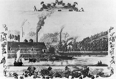
Gewerkschaft Quint
Field Names
Oberm Werk
Mills
Ehemalige Mahlmühle am Quintbach
Street Names
Peter-Klöckner-Straße
Field Names
Quint
 230 m
Settlements