Street Names · Undated
Kapellenstraße


© GeoBasis-DE / LVermGeoRP, dl-de/by-2-0
There is no picture of this object yet. Do you have a photo that you would like to make available to the Kulturdatenbank? Submit a picture
Description
This description is only available in German.
Translate with Google opens this page in Google Translate (external service)
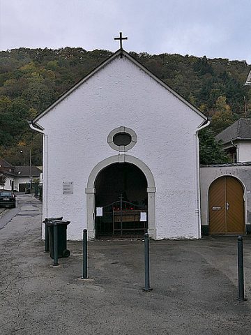
Kapellenstraße, nach der Kapelle der Ehranger Küferzunft an der Ecke Kapellen- und Quinter Straße. Die Jahreszahl 1784 am rechten Türpfosten ist eine Hochwassermarke, nicht das Erbauungsjahr. [1]
Classification
- Subject area
- History
- Category
- Place Names / Local History
- Object type
- Street Names
- Date
- Undatiert
- Period
- Undated
Location
- District
- City of Trier
- Collective municipality
- Verbandsfreie Gemeinde Trier
- Town
- Trier
- Locality / location
- Ehrang-Quint
- Street
- Kapellenstraße
- Field name
- Ortslage
- Coordinates
- WGS 84: 49.815477, 6.693610 (Position: exact) WGS 84: 49° 48′ 55.7″ N, 6° 41′ 37.0″ E UTM 32 (ETRS89): E 334083 · N 5520667
Sources
Data sources
- [1] Werner Schuhn: Ehrang. Landschaft, Geschichte, Gegenwart. 2 Bände. Trier 1989. Hrsg.: Arbeitsgemeinschaft für Landesgeschichte und Volkskunde des Trierer Raumes.
On the internet
Last edited: 23 Nov 2006 Object ID: 11631
https://kulturdb.de/en/objekt/11631-trier-kapellenstrasse
Nearby
The nearest objects
Field Names
Vor dem Heiligenhäuschen ober der Strasse
Vineyard Sites
Im Glockenbungert
Field Names
Unter dem Raubertsgraben
 80 m
Coats of Arms
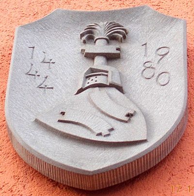
Siegel an Hauswand
Wayside Shrines and Stations of the Cross
Ehemaliges Kreuz
 100 m
Chapels
Sogenannte Küferkapelle
Wayside Shrines and Stations of the Cross
Ehemaliges Kreuz
Field Names