Wayside Shrines and Stations of the Cross · Undated
Ehemaliges Kreuz


© GeoBasis-DE / LVermGeoRP, dl-de/by-2-0
There is no picture of this object yet. Do you have a photo that you would like to make available to the Kulturdatenbank? Submit a picture
Description
This description is only available in German.
Translate with Google opens this page in Google Translate (external service)
Nikolaus Mohr berichtete noch vom Kopfteil eines Kreuzes in der Gartenmauer des Hauses Quinter Straße 18, der dem Geißenkreuzchen glich. Beide Kreuze können keinesfalls identisch sein. [1]
Classification
- Subject area
- Architectural and Art Monuments
- Category
- Religious Buildings
- Object type
- Wayside Shrines and Stations of the Cross
- Date
- Undatiert
- Period
- Undated
Location
- District
- City of Trier
- Collective municipality
- Verbandsfreie Gemeinde Trier
- Town
- Trier
- Locality / location
- Ehrang-Quint
- Street
- Quinter Straße 18
- Field name
- Ortslage
- Coordinates
- WGS 84: 49.814785, 6.693670 (Position: exact) WGS 84: 49° 48′ 53.2″ N, 6° 41′ 37.2″ E UTM 32 (ETRS89): E 334085 · N 5520590
Sources
Data sources
- [1] Werner Schuhn: Ehrang. Landschaft, Geschichte, Gegenwart. 2 Bände. Trier 1989. Hrsg.: Arbeitsgemeinschaft für Landesgeschichte und Volkskunde des Trierer Raumes.
On the internet
Last edited: 25 Nov 2019 Object ID: 48702
https://kulturdb.de/en/objekt/48702-trier-ehemaliges-kreuz
Nearby
The nearest objects
 less than 10 m
Coats of Arms
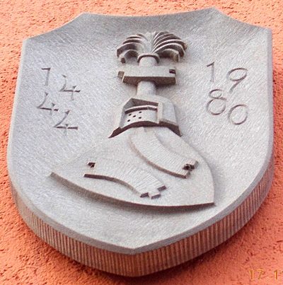
Siegel an Hauswand
Field Names
Unter dem Raubertsgraben
Wayside Shrines and Stations of the Cross
Ehemaliges Kreuz
Street Names
Kapellenstraße
Field Names
Vor dem Heiligenhäuschen ober der Strasse
Vineyard Sites
Im Glockenbungert
 150 m
Chapels
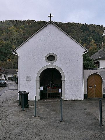
Sogenannte Küferkapelle
Street Names