Extraction and Processing of Raw Materials · Neoclassicism
Eisengruben
Wüstung

Description
This description is only available in German.
Translate with Google opens this page in Google Translate (external service)
Mehringer Berg. Frühneuzeitliche Bergwerke im Stollenbau, aus denen Eisenerze gewonnen und in der Hütte von Quint verhüttet wurden.
Classification
- Subject area
- Archaeological Monuments
- Category
- Economy, Trade and Transport
- Object type
- Extraction and Processing of Raw Materials
- Date
- Circa 1750 bis 1850
- Period
- Neoclassicism
Location
- District
- Trier-Saarburg
- Collective municipality
- Schweich an der römischen Weinstraße
- Municipality
- Longen
- Field name
- Auf Pontenklotz
- Coordinates
- WGS 84: 49.813873, 6.783040 (Position: exact) WGS 84: 49° 48′ 49.9″ N, 6° 46′ 58.9″ E UTM 32 (ETRS89): E 340511 · N 5520294
Sources
Data sources
- Janssen, W.: Studien zur Wüstungsfrage im fränkischen Altsiedelland zwischen Rhein, Mosel und Eifelnordrand. 2 Bände. Text u. Katalog, 1975.
On the internet
Picture credits
- Picture 1: Internet
Last edited: 17 Apr 2001 Object ID: 1165
https://kulturdb.de/en/objekt/1165-longen-eisengruben
Nearby
The nearest objects
 280 m
Viewpoints
Aussichtspunkt Schock
 390 m
Field Names
In dem Hombach
No picture
420 m
Field Names
Im Vogelsang am Schock
420 m
Field Names
Auf Schock
 420 m
Fountains and Wells
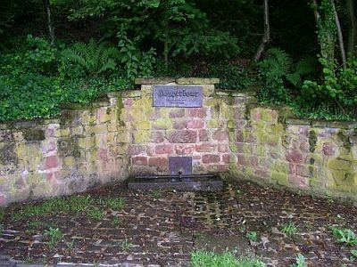
Höpperbour
530 m
Field Names
Beim Landwerksgraben
 540 m
Marian Grottoes
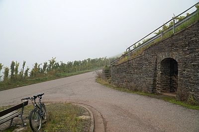
Vespergrotte im Longuicher Berg
600 m
Field Names