Mineral Springs · 20th Century
Adonisquelle - Quelltempel
Mineralquelle
- Listed monument

Description
This description is only available in German.
Translate with Google opens this page in Google Translate (external service)
Die Adonis Quelle liegt inmitten des Orts und ist seit November 2003 wegen Verunreinigung geschlossen. Der ebenfalls vorhandene Quelltempel in der Nähe der Kyllbrücke, in dem bis zuletzt kostenlos das Mineralwasser der Adonis Quelle getrunken und auch abgefüllt werden konnte, ist seither geschlossen. [1]
Classification
- Subject area
- Natural Features
- Category
- Springs
- Object type
- Mineral Springs
- Date
- 1969 [Staatliche Anerkennung]
- Period
- 20th Century
Location
- District
- Vulkaneifel
- Collective municipality
- Gerolstein
- Municipality
- Birresborn
- Street
- Poststraße 12
- Field name
- Auf der Lohkaul
- Coordinates
- WGS 84: 50.174697, 6.627044 (Position: exact) WGS 84: 50° 10′ 28.9″ N, 6° 37′ 37.4″ E UTM 32 (ETRS89): E 330563 · N 5560750
Sources
Data sources
- [1] Seite "Birresborn". In: Wikipedia, Die freie Enzyklopädie. Bearbeitungsstand: 2. Juni 2015, 10:16 UTC. URL: http://de.wikipedia.org/w/index.php?title=Birresborn&oldid=142718249 (Abgerufen: 7. Juni 2015, 07:29 UTC)
On the internet
Picture credits
- Picture 1: © Sandra Wack, Neuheilenbach, 2016. www.koerbchen-gesucht.de
Last edited: 4 May 2016 Object ID: 11704
https://kulturdb.de/en/objekt/11704-birresborn-adonisquelle-quelltempel
Nearby
The nearest objects
Mineral Springs
Quellhaus der Adonis-Quelle
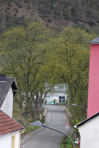 40 m
Chestnut Trees
Rosskastanie
40 m
Chestnut Trees
Rosskastanie
40 m
Chestnut Trees
Rosskastanie
50 m
Chestnut Trees
Rosskastanie
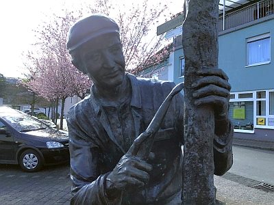 50 m
Field Names
Auf der Lohkaul
Mills
Birresborner Mühle am Fischbach
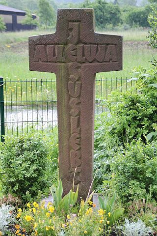 100 m
Wayside Shrines and Stations of the Cross