Settlements · Celtic / Roman Period
Römische Siedlungsstelle
Südwestlich von Dohm

Description
This description is only available in German.
Translate with Google opens this page in Google Translate (external service)
Fundstelle 1060
Römische Siedlungsstelle in ungewöhnlicher Höhenlage südwestlich von Dohm. Wenig östlich liegen Altflursysteme.
Trierer Zeitschrift für Geschichte und Kunst des Trierer Landes und seiner Nachbargebiete 52, 1989, 428
in: Römisch-Germanische Forschungen, Bd. 63. Eisenzeitlicher Kulturwandel und Romanisierung im Mosel-Eifel-Raum. Die keltisch-römische Siedlung von Wallendorf und ihr archäologisches Umfeld. Römisch-Germanische Kommission des Deutschen Archäologischen Instituts Frankfurt a. M. Fundstellenkatalog von: Dirk L. Krausse unter Mitarbeit von Antje Fischbock. 2006
Classification
- Subject area
- Archaeological Monuments
- Category
- Settlements
- Object type
- Settlements
- Date
- Circa 500 vor Chr. bis circa 500 nach Chr.
- Period
- Celtic / Roman Period
Location
- District
- Vulkaneifel
- Town
- Gerolstein
- Locality / location
- Roth
- Field name
- Auf Bermesrech
- Coordinates
- WGS 84: 50.253855, 6.636806 (Position: exact) WGS 84: 50° 15′ 13.9″ N, 6° 38′ 12.5″ E UTM 32 (ETRS89): E 331539 · N 5569528
Sources
Data sources
- Fundstellenkatalog: Die keltisch-römische Siedlung von Wallendorf und ihr archäologisches Umfeld. Dirk L. Krausse unter Mitarbeit von Antje Fischbock. 2006
On the internet
dainst.org/medien/de/krausse.pdf
Picture credits
- Picture 1: © Lothar Monshausen, Fotostream http://www.flickr.com/photos/lomo56/tags/meteorite/
Last edited: 29 Sep 2013 Object ID: 12006
https://kulturdb.de/en/objekt/12006-gerolstein-roemische-siedlungsstelle
Nearby
The nearest objects
Field Names
Auf Bermesrech
 240 m
Field Names
Im Haargarten
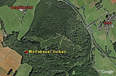 550 m
Volcanoes
Wolfsbeuel-Vulkan
Field Names
Am krummen Stück
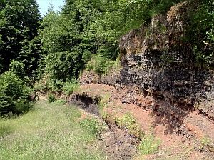 600 m
Geological Features
Wolfsbeuel
 610 m
Wayside Shrines and Stations of the Cross
Wegekreuz
 650 m
Viewpoints
Aussichtspunkt Heimatblick
Field Names