Find Sites · Celtic / Roman Period
Römisches Gemäuer


© GeoBasis-DE / LVermGeoRP, dl-de/by-2-0
There is no picture of this object yet. Do you have a photo that you would like to make available to the Kulturdatenbank? Submit a picture
Description
This description is only available in German.
Translate with Google opens this page in Google Translate (external service)
Fundstelle 1012
Laut Fundstellenverzeichnis in der Ortsakte Birresborn des Rheinischen Landesmuseums Trier befindet sich südwestlich des Ortes, dicht westlich des Bestattungsplatzes "Daxberg", ein römisches "Gemäuer". Keine genaueren Angaben vorliegend.
in: Römisch-Germanische Forschungen, Bd. 63. Eisenzeitlicher Kulturwandel und Romanisierung im Mosel-Eifel-Raum. Die keltisch-römische Siedlung von Wallendorf und ihr archäologisches Umfeld. Römisch-Germanische Kommission des Deutschen Archäologischen Instituts Frankfurt a. M. Fundstellenkatalog von: Dirk L. Krausse unter Mitarbeit von Antje Fischbock. 2006.
Classification
- Subject area
- Archaeological Monuments
- Category
- Settlements
- Object type
- Find Sites
- Date
- Circa 500 vor Chr. bis circa 500 nach Chr.
- Period
- Celtic / Roman Period
Location
- District
- Vulkaneifel
- Collective municipality
- Gerolstein
- Municipality
- Birresborn
- Field name
- Auf dem Bierth
- Coordinates
- WGS 84: 50.170090, 6.599382 (Position: exact) WGS 84: 50° 10′ 12.3″ N, 6° 35′ 57.8″ E UTM 32 (ETRS89): E 328571 · N 5560301
Sources
Data sources
- - Fundstellenkatalog: Die keltisch-römische Siedlung von Wallendorf und ihr archäologisches Umfeld. Dirk L. Krausse unter Mitarbeit von Antje Fischbock, 2006.
- - Dirk Krausse: Eisenzeitlicher Kulturwandel und Romanisierung im Mosel-Eifel-Raum. Verlag: Philipp von Zabern, Mainz, 2006. Beilage 1.
On the internet
Last edited: 24 Nov 2011 Object ID: 12155
https://kulturdb.de/en/objekt/12155-birresborn-roemisches-gemaeuer
Nearby
The nearest objects
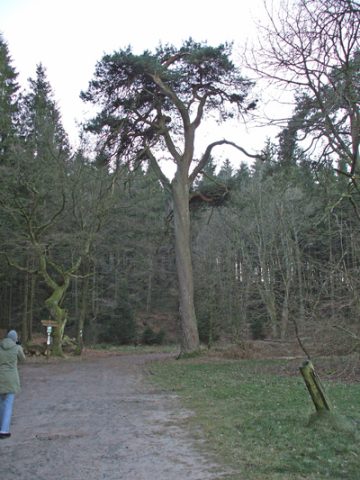 90 m
Pines
Adam und Eva
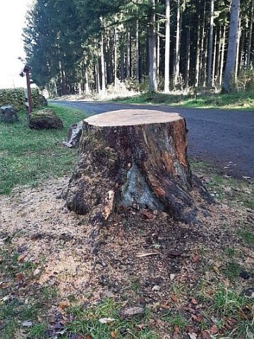 90 m
Pines
Adam und Eva - Gefällter Adam
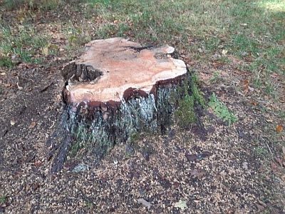 90 m
Pines
Adam und Eva - Gefällte Eva
Surveying
Trigonometrisches Signal Daxberg
Field Names
Auf Wellenheld
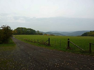 580 m
Viewpoints
Aussichtspunkt oberhalb der Eishöhlen
 820 m
Caves
Eishöhle
830 m
Caves