Town Fortifications · Celtic / Roman Period
Ehemalige Porta Alba

Description
This description is only available in German.
Translate with Google opens this page in Google Translate (external service)
Historische Bedeutung: Die 6,4 Kilometer lange Stadtmauer mit über 30 Türmen und - einschließlich des Amphitheaters - fünf Toren umschließt das antike Stadtgebiet von 285 Hektar. Dieser ummauerte Bering stellt die größte Anlage seiner Art nördlich der Alpen dar. [1]
Classification
- Subject area
- Archaeological Monuments
- Object type
- Town Fortifications
- Date
- Circa 500 vor Chr. bis circa 500 nach Chr.
- Period
- Celtic / Roman Period
Location
- District
- City of Trier
- Collective municipality
- Verbandsfreie Gemeinde Trier
- Town
- Trier
- Locality / location
- Heiligkreuz
- Street
- Rotbachstraße
- Field name
- Ortslage
- Coordinates
- WGS 84: 49.742040, 6.640479 (Position: exact) WGS 84: 49° 44′ 31.3″ N, 6° 38′ 25.7″ E UTM 32 (ETRS89): E 330005 · N 5512622
Sources
Data sources
- [1] Rettet das archäologische Erbe in Trier. Schriftenreihe des Rheinischen Landesmuseums Trier. Nr. 31. ISBN 3-923319-62-2 Online-Shop: www.landesmuseum-trier-shop.de
On the internet
Picture credits
- Picture 1: Matth. Merian: Topograhia. 1646 (Ausschnitt)
Last edited: 17 Jul 2009 Object ID: 12296
https://kulturdb.de/en/objekt/12296-trier-ehemalige-porta-alba
Nearby
The nearest objects
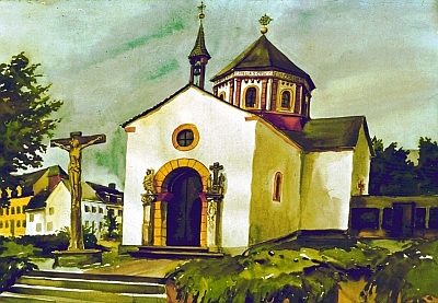 less than 10 m
Settlements
Historische Siedlung Heiligkreuz
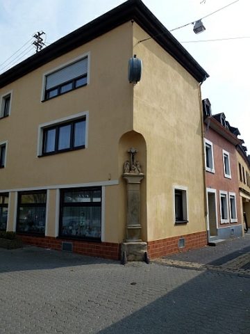 20 m
Wayside Shrines and Stations of the Cross
Sogenanntes Kestenkreuz
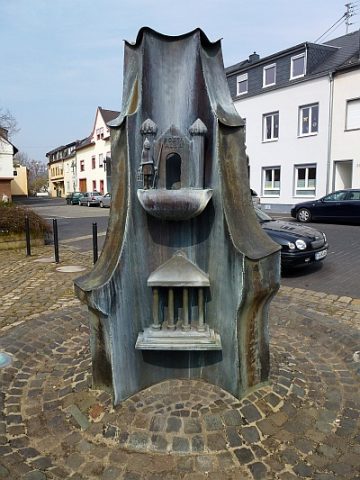 60 m
Works of Art
Bronzebrunnen auf dem Kirchplatz (1)
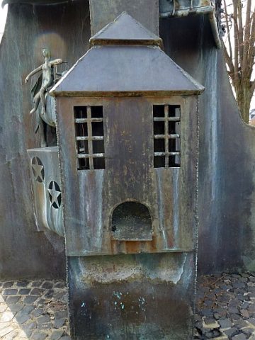 60 m
Works of Art
Bronzebrunnen auf dem Kirchplatz (2)
 60 m
Chapels
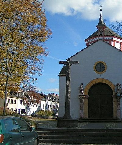
Heiligkreuzkapelle - Kruzifix vor der Kirche
 70 m
Wayside Shrines and Stations of the Cross
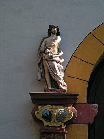
Heiligkreuzkapelle - Bildstock
 70 m
Wayside Shrines and Stations of the Cross
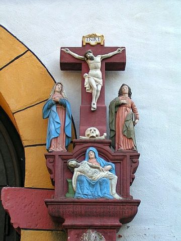
Heiligkreuzkapelle - Bildstock von 1666
 90 m
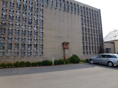
Wayside Shrines and Stations of the Cross