Wayside Shrines and Stations of the Cross · Renaissance
Sogenanntes Kestenkreuz
- Listed monument


Description
This description is only available in German.
Translate with Google opens this page in Google Translate (external service)
Kreuzigungsbildstock, sogenanntes Kestenkreuz oder Kreuz am scharfen Eck. [...] Laut Inschrift auf dem Kapitell 1636 (andere Lesart 1639) von Dederich Kesten und seiner Frau Maria Thees gesiftet. [1]
Classification
- Subject area
- Architectural and Art Monuments
- Category
- Religious Buildings
- Object type
- Wayside Shrines and Stations of the Cross
- Date
- 1636
- Period
- Renaissance
Location
- District
- City of Trier
- Collective municipality
- Verbandsfreie Gemeinde Trier
- Town
- Trier
- Locality / location
- Heiligkreuz
- Street
- Bernhardstraße 75
- Field name
- Ortslage
- Coordinates
- WGS 84: 49.742138, 6.640326 (Position: exact) WGS 84: 49° 44′ 31.7″ N, 6° 38′ 25.2″ E UTM 32 (ETRS89): E 329994 · N 5512633
Sources
Data sources
- [1] Denkmaltopographie Bundesrepublik Deutschland. Kulturdenkmäler in Rheinland-Pfalz. Band 17.2 Stadt Trier – Stadterweiterung und Stadtteile. Wernersche Verlagsgesellschaft mbH, Worms. ISBN 978-3-88462-275-9 (1. Auflage 2009)
On the internet
Picture credits
Last edited: 7 Apr 2013 Object ID: 26592
https://kulturdb.de/en/objekt/26592-trier-sogenanntes-kestenkreuz
Nearby
The nearest objects
 20 m
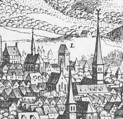
Town Fortifications
Ehemalige Porta Alba
 20 m
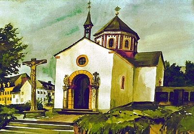
Settlements
Historische Siedlung Heiligkreuz
 70 m
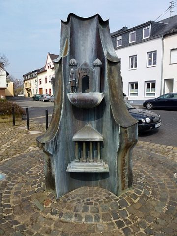
Works of Art
Bronzebrunnen auf dem Kirchplatz (1)
 70 m
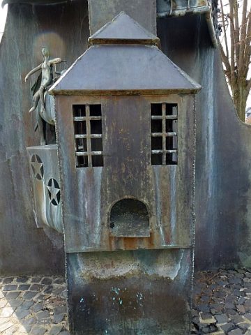
Works of Art
Bronzebrunnen auf dem Kirchplatz (2)
 80 m
Chapels
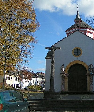
Heiligkreuzkapelle - Kruzifix vor der Kirche
 80 m
Wayside Shrines and Stations of the Cross
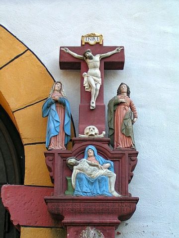
Heiligkreuzkapelle - Bildstock
 90 m
Wayside Shrines and Stations of the Cross
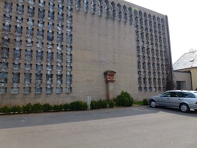
Heiligkreuzkapelle - Bildstock von 1666
 100 m
Wayside Shrines and Stations of the Cross